- Year designated: 2003
- City landmark number: 263
- Designating ordinance: 121240
- Neighborhood: Central Business District, part of Downtown
Browse the monorail alongside other protected sites in our guide to all Seattle landmarks.
The Expansion That Never Got Built
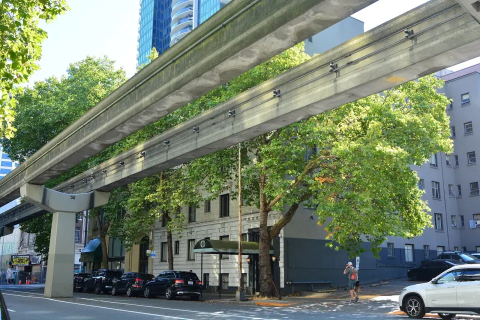
For most of a decade, Seattle debated whether to grow the original line into a citywide system. The effort brought five public votes, a new transit agency and a new car tax, but no new track.
Five Votes in Eight Years
The push started in 1997 with Initiative 41, which passed 53 percent to 47 percent and called for a 54-mile, X-shaped network built with private money by a new agency, the Elevated Transportation Corporation. That agency soon concluded that private investors could not make it happen without public support.
In 2000, voters approved Initiative 53, 56 percent to 44 percent, allowing $6 million for further study. That work produced a five-line plan, which went to voters in November 2002 as Citizens Petition #1. It squeaked through by just 877 votes, 50.2 percent to 49.7 percent, and created an annual 1.4 percent motor vehicle excise tax on Seattle cars.
The opposition was real. Former mayors Wes Uhlman and Charles Royer opposed the 2002 measure, and critics worried about blocked views and a wall of concrete beams along Second Avenue. Even so, a 2004 recall effort, I-83, failed 64 percent to 36 percent.
Money Trouble and the End of the Plan
The car tax took effect in June 2003, and by 2005 it averaged $130 per vehicle each year. Then revenue came in 30 percent below projections while estimated costs climbed 10 percent. A proposal to stretch repayment over 50 years would have meant nearly $9 billion in interest on a $2 billion build, and the director and board chairman resigned soon after.
On September 16, 2005, Mayor Greg Nickels withdrew city support. That November, Proposition 1 lost 65 percent to 35 percent, and the agency agreed to wind down. The tax ended June 30, 2006, and the authority formally dissolved on January 17, 2008, sending its remaining $425,963.07 to King County Metro. In all, the project cost taxpayers $124.7 million without any construction ever beginning.
The Green Line Seattle Almost Rode
Imagine the route that was planned first: the Green Line, a 14-mile line with 17 stations. It would have run from Ballard through Magnolia, Queen Anne, Seattle Center, Downtown, Pioneer Square and the Chinatown-International District before turning west into West Seattle.
Four more lines were sketched out, with Blue and Gold routes running north and south and Purple and Red lines crossing east and west. Planners also studied a Rainbow corridor roughly following Interstate 5 toward the University District. None of these lines made it past the planning stage, which is why the 1962 line still stands alone.
Landmarks Within a Block of the Monorail
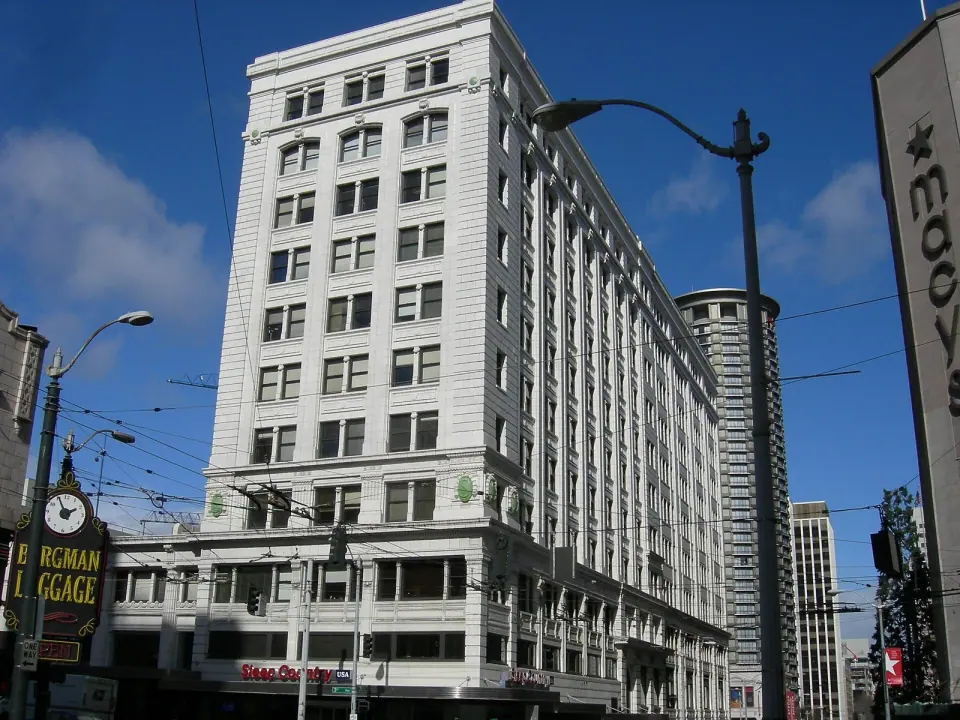
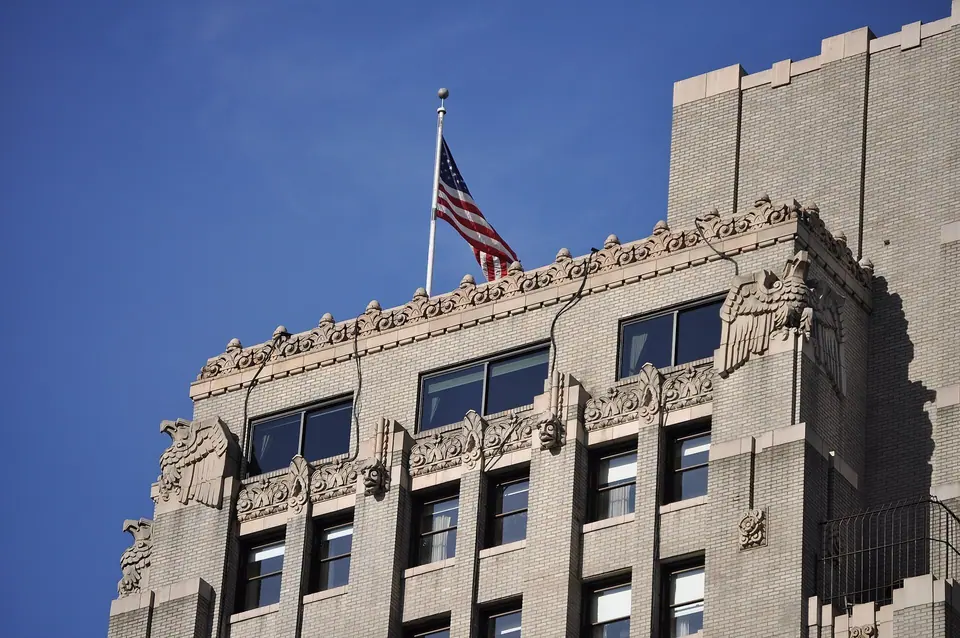
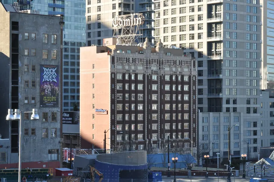
Step away from the monorail's listed site and you will find other designated places all around it, each within about a tenth of a mile:
- Westlake Park
- Frederick and Nelson Building
- Medical Dental Building
- Times Square Building
- Shafer Building (6th and Pine Building)
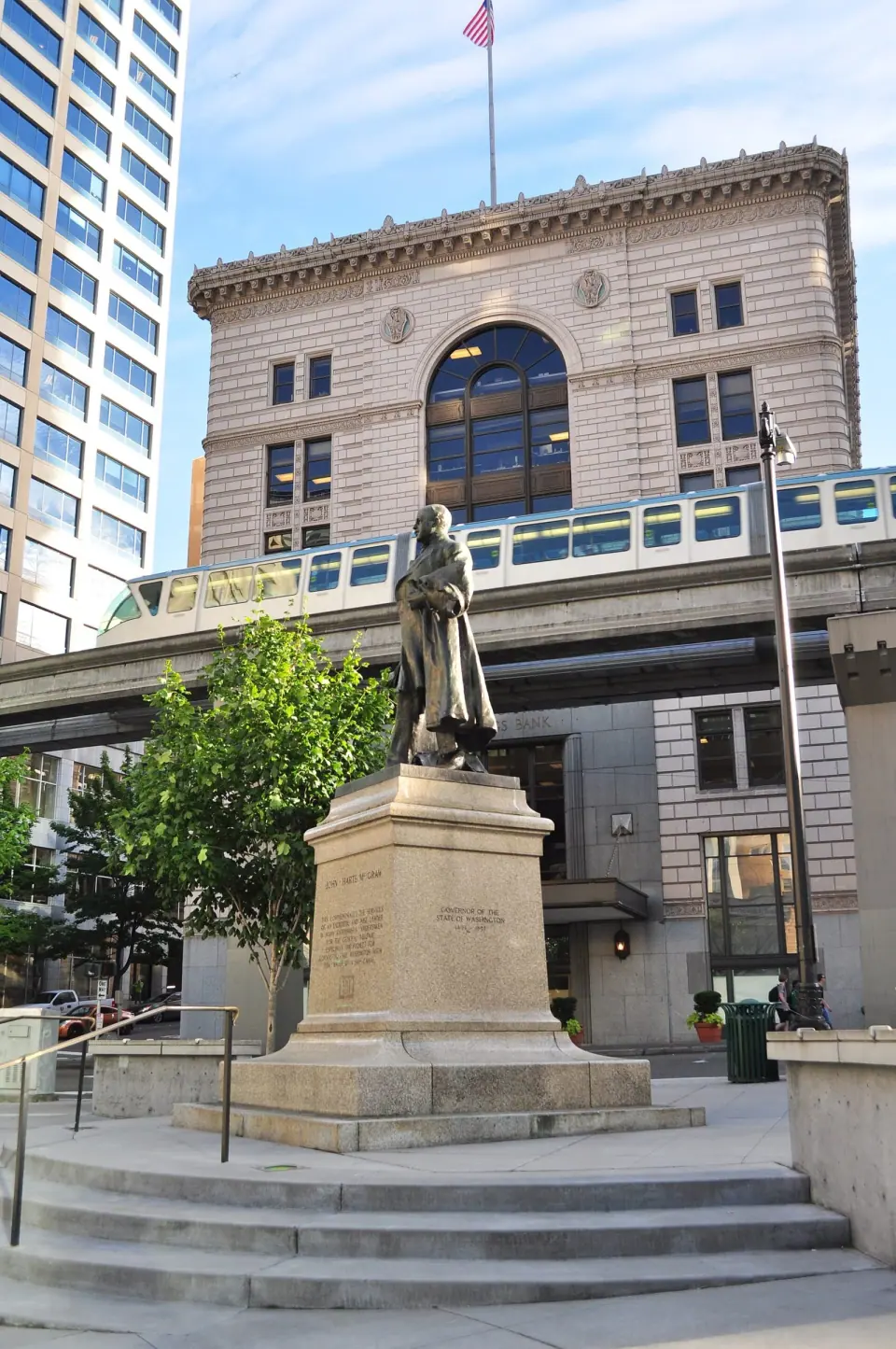
- McGraw Square and McGraw Place
- Street Clock at Century Square
With that cluster so close together, it is easy to pair a look at the monorail with a short walking loop. Dig into the surrounding streets with our Central Business District neighborhood guide, and check the monorail operator's official website for current hours, fares and tickets before you go.