Alki, Where Seattle Began
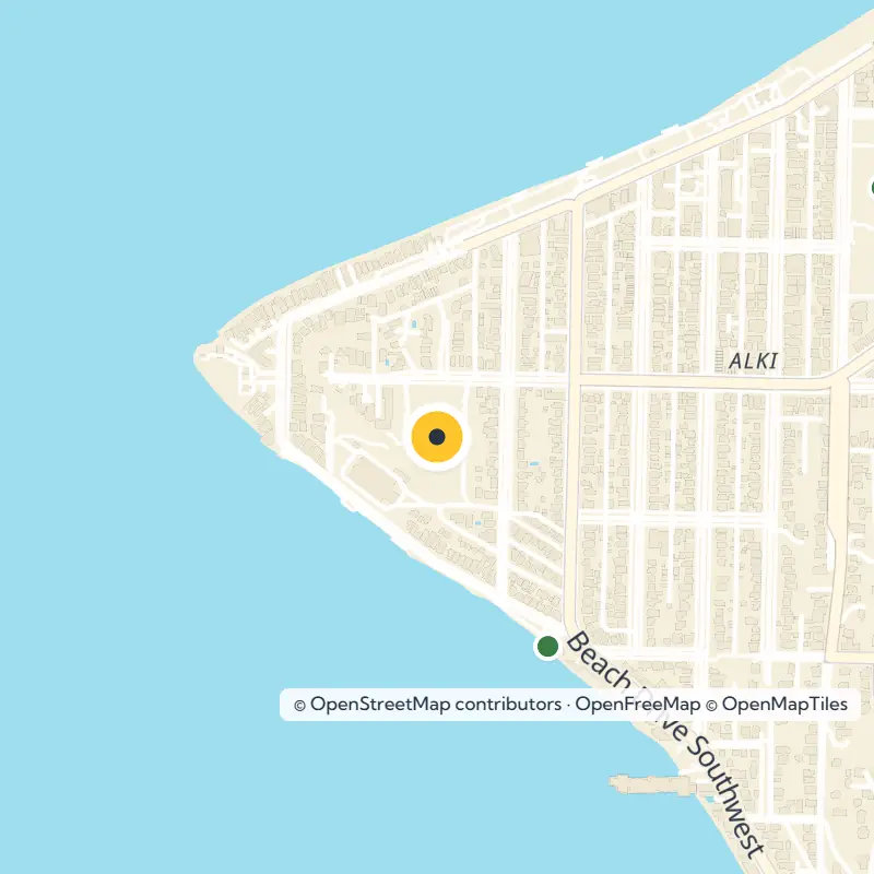
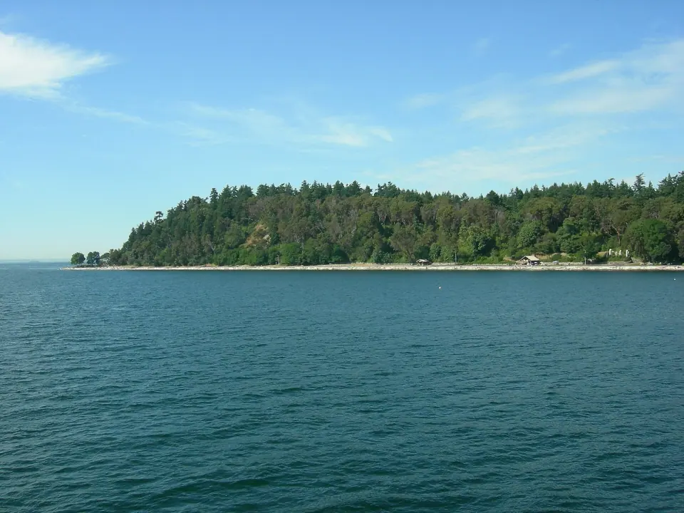
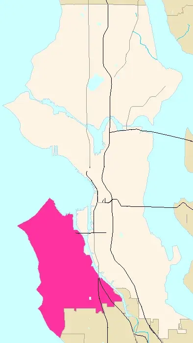
Stand at Alki Point and you are where the Denny Party landed on November 13, 1851, after leaving the ship Exact. Several Coast Salish villages of the Duwamish and Suquamish peoples already called the peninsula home. The settlers named their camp New York Alki, borrowing a Chinook Jargon word that means "by and by."
Wind and tides made this exposed western shore a poor site for a city, so most of the party soon moved across the bay. Charles C. Terry stayed behind and filed a plat for the town of Alki in 1853. Start your visit at the Log House Museum near the point, run by the Southwest Seattle Historical Society, for the full story.
Keep in mind that this history includes loss. The Duwamish village known as Herring's House was burned on March 7, 1893, and its residents scattered to Ballast Island and other places around the region.
A Day at the Beach
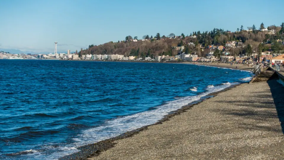
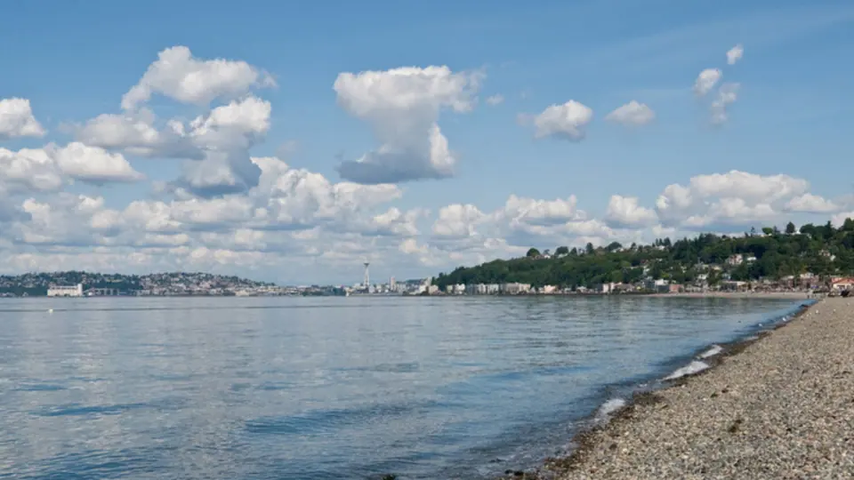
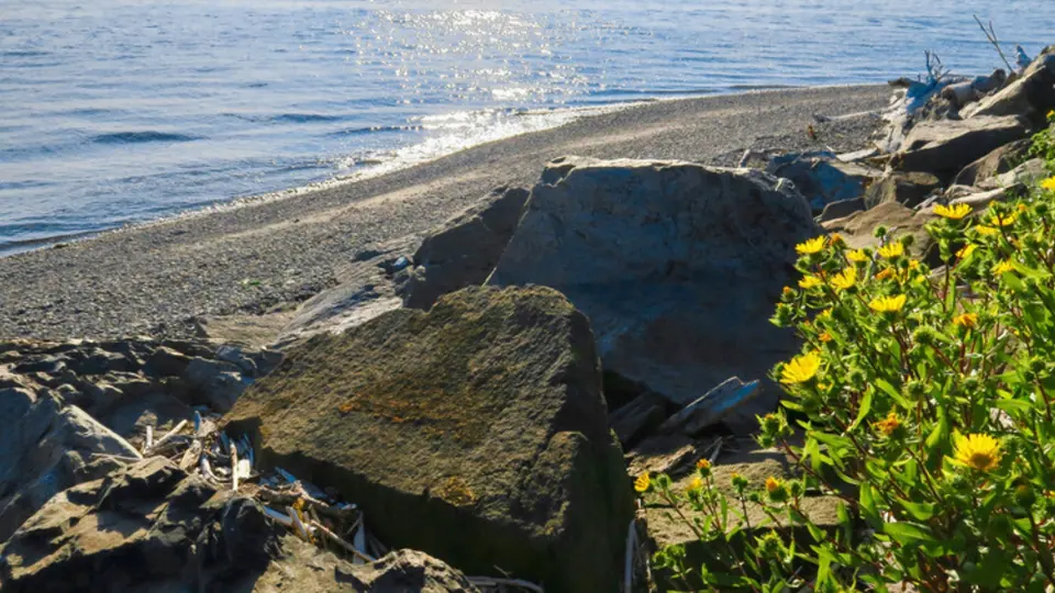
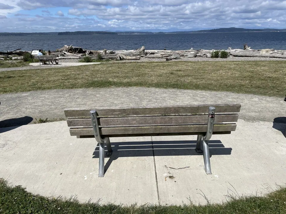
Spend an afternoon at Alki Beach Park, which stretches along Elliott Bay between Alki Point and Duwamish Head. It is the most popular beach in the Seattle area, with a long sandy strip, driftwood, seashells and fire pits. Watch for the Statue of Liberty replica and the pioneer monument as you stroll.
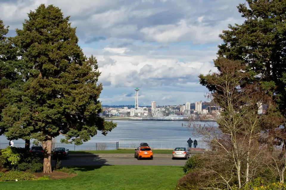
Come at low tide to explore the tidepools for marine life. A flat shoreline path invites biking and running, with views of the downtown skyline, Puget Sound and the Olympics. Alki Avenue and Harbor Avenue loop around the north shore, and a multi-use trail runs right alongside.
Head just south along Beach Drive SW to Me-Kwa-Mooks Park, about 20 acres on the old Schmitz family homestead. Its name comes from the Lushootseed word for Alki Point.
The Three Junctions
West Seattle's shops and gathering spots cluster at three intersections along California Avenue SW. Learn these three and the peninsula becomes much easier to navigate.
Alaska Junction
The main business district, known simply as the Junction, centers on California Avenue SW and SW Alaska Street. Browse the West Seattle Farmers Market, which sets up at that corner every Sunday, all year. Recent hours have been 10 am to 2 pm, but times can change, so check with the market before you go.
Each July, catch West Seattle Summer Fest, a multi-day street festival filled with live music, shopping and art galleries. It began in 1982 and came back after being canceled in 2020 and 2021.
Admiral Junction
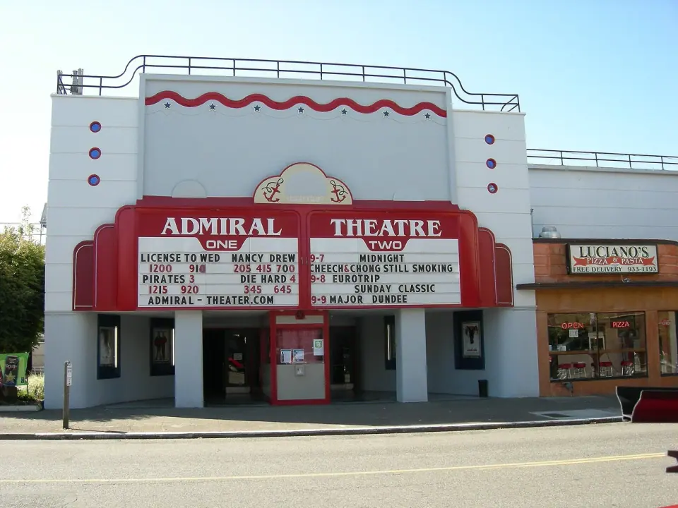
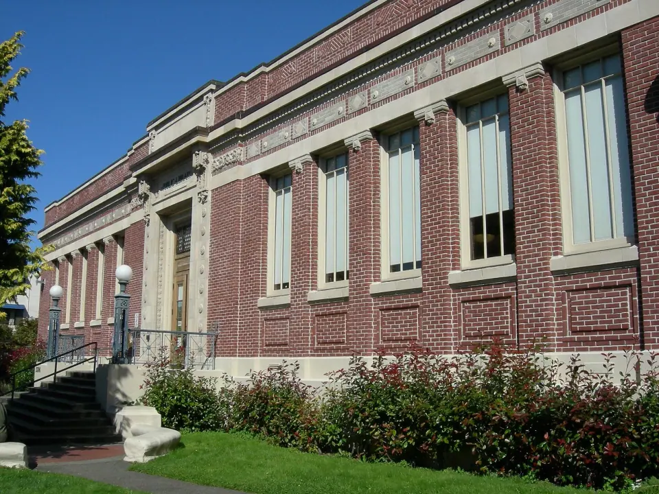
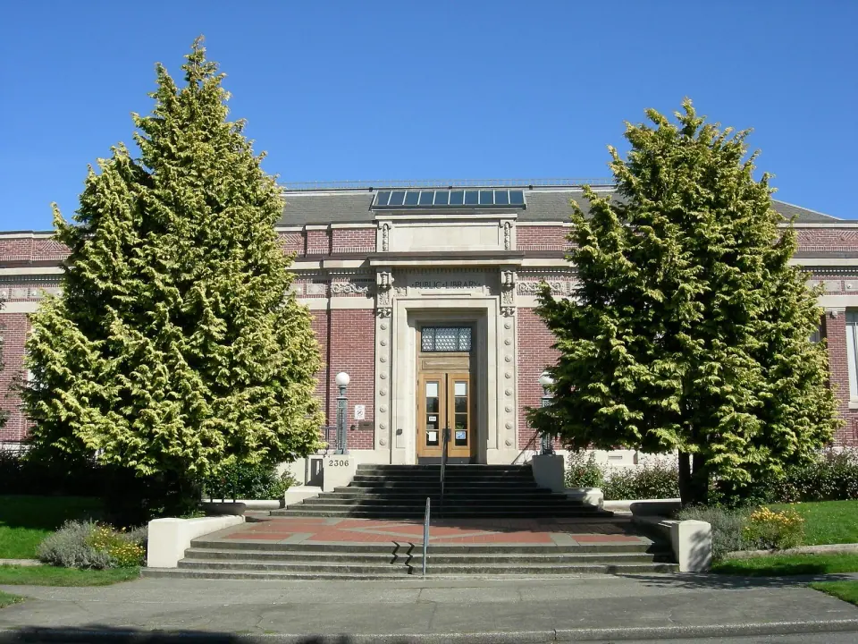
At the north end, California Avenue SW meets SW Admiral Way. Here the Admiral Theater has been a protected City of Seattle landmark since 1993. A few blocks away, the West Seattle Branch of the Seattle Public Library, at 2306 42nd Ave SW, earned landmark status in 2003.
Continue north on California Avenue to Hamilton Viewpoint Park, nearly 17 acres the city bought in 1914. It honors local community figure Rupert L. Hamilton.
Morgan Junction
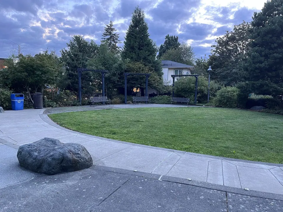
To the south, Fauntleroy Way SW, SW Morgan Street and California Avenue SW come together. This smaller neighborhood hub puts a city park, a branch library and two landmarks within an easy walk.
Forest and Shoreline Parks
Few corners of Seattle hold this much green space. Two parks stand out, each for very different reasons.
Lincoln Park
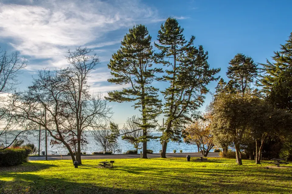
Wander Lincoln Park, 135 acres on Puget Sound where forest trails wind across the bluff and a paved path follows the beach below. In summer, swim in the heated saltwater of Colman Pool right at the water's edge. Kids love searching the woods for the giant troll tucked among the trees.
Fauntleroy Park
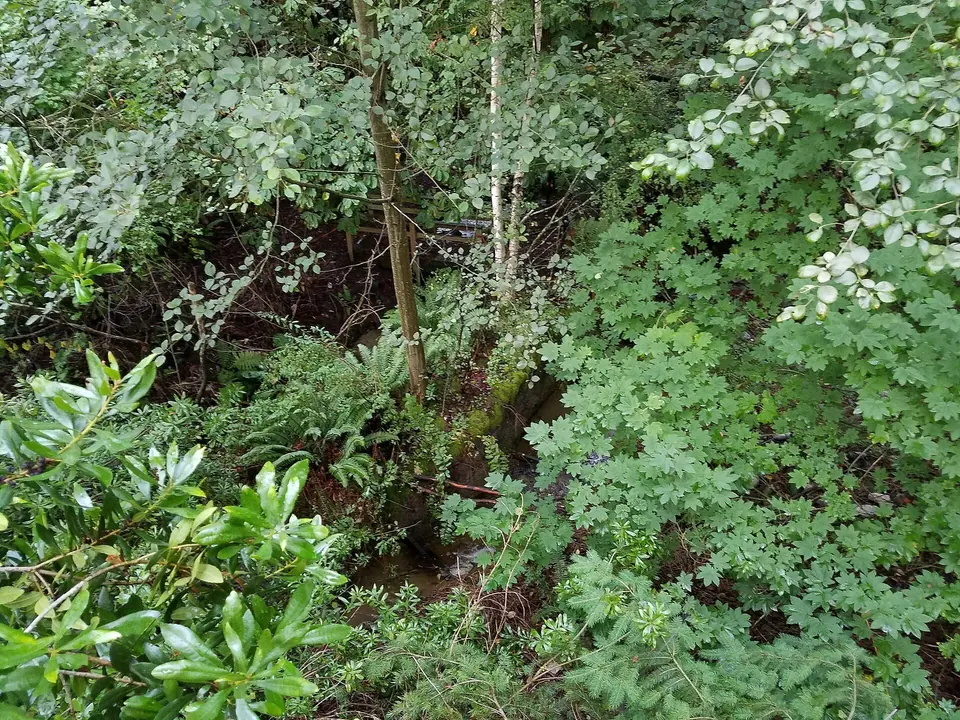
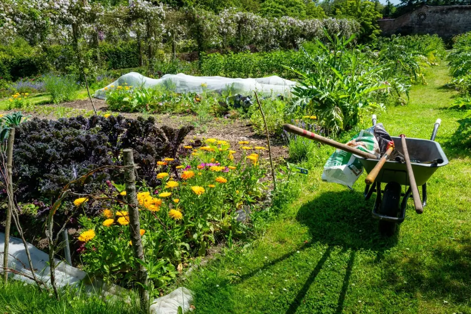
For a quieter outing, Fauntleroy Park protects about 33 acres of forest and wetland where Fauntleroy Creek begins. It is set aside for peaceful walks, birdwatching and nature study rather than sports. Nearby, the Solstice P-Patch community garden, dating to 2003, has 34 plots.
High Point, the Top of the City
Climb to the highest spot in Seattle at Myrtle Reservoir Park in High Point, near 35th Avenue SW and SW Myrtle Street. The hill rises 520 feet above sea level, and two large water towers mark the summit.
The neighborhood began as wartime government housing during World War II. Beginning in 2003, the Seattle Housing Authority rebuilt it as a mixed-income community with about 1,600 new homes, using porous sidewalks and parking areas plus the only porous pavement street in Washington state. The project won several national awards in 2007.
Today High Point is among Seattle's most diverse neighborhoods, home to many residents who came from Southeast Asia and East Africa.
Quieter Corners in the Southwest
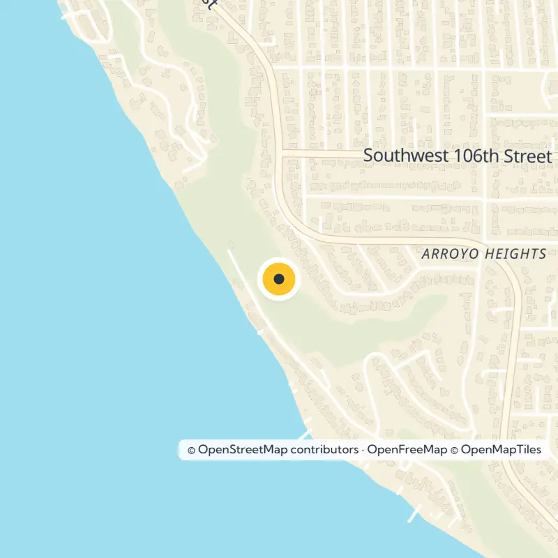
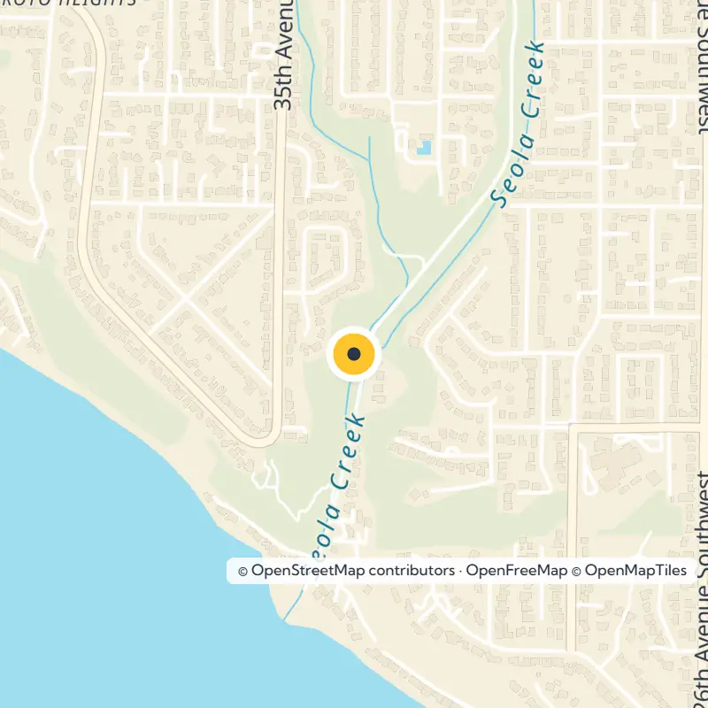
The southern end of the peninsula turns suburban, with neighborhoods such as Gatewood, Fauntleroy, Arbor Heights and Arroyo Heights. Take a slow walk along Beach Drive SW or through the small natural areas here. For everyday errands, the Westwood Village shopping center sits between SW Trenton and SW Barton streets.
Getting There and Around
Drivers use the high-level West Seattle Bridge, opened in 1984, which carries traffic toward Interstate 5. It closed from 2020 to 2022 for major repairs after cracks spread through the concrete. Cyclists can cross on the low-level Spokane Street swing bridge, opened in 1991, which includes a multi-use trail across Harbor Island.
King County Metro buses connect the peninsula with downtown. Ride the RapidRide C Line along California Avenue and Fauntleroy Way, or the H Line along Delridge Way.
For the most scenic arrival, hop on the passenger-only King County Water Taxi between downtown and Seacrest Park. It has offered year-round, all-day service since 2022, and King County posts current schedules.
From the Fauntleroy terminal, Washington State Ferries carry cars to Vashon Island and to Southworth on the Kitsap Peninsula.