Skip to content

Victory Heights Playground

Start a creekside stroll at Victory Heights Playground, a Seattle city park at 1737 NE 106th St in Victory Heights, just steps from a string of small green spaces named for Thornton Creek.

Part ofVictory HeightsParks in Seattle

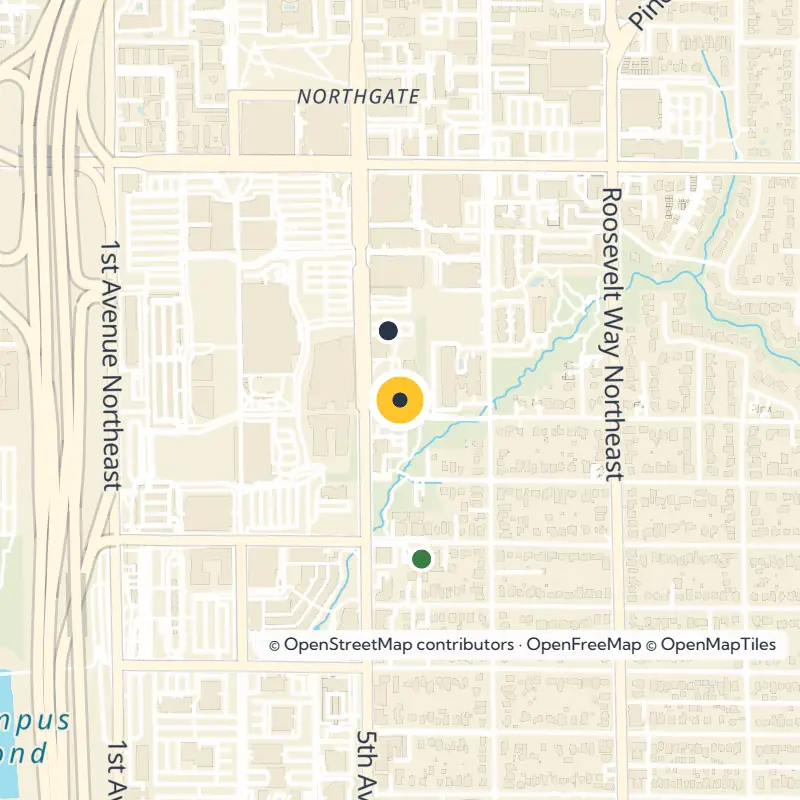
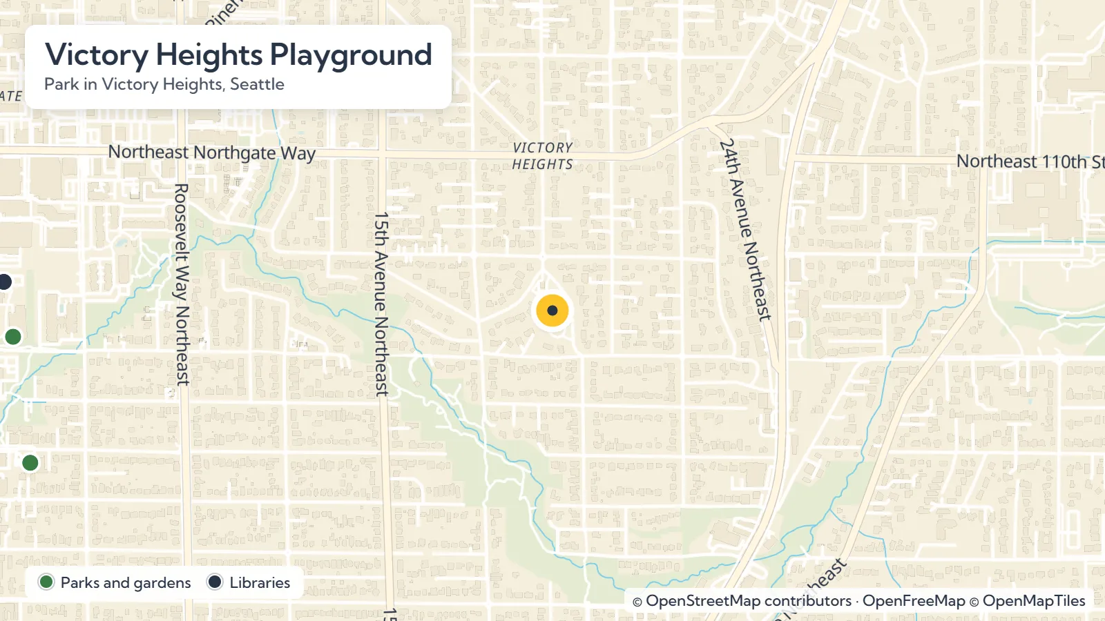
Map of Victory Heights Playground in Victory Heights, Seattle

Frequently asked questions

Victory Heights Playground is at 1737 NE 106th St, Seattle, WA 98125, in the Victory Heights neighborhood of the Lake City district.

Thornton Creek Park #1 is under 0.1 mi away, Kingfisher Natural Area on Thornton Creek is 0.2 mi away and Victory Creek Park is 0.4 mi away. LaVilla Meadows Natural Area, Pinehurst Pocket Park and Sacajawea Playground are also within about 0.6 mi.

Victory Heights is named after the Victory Highway, which formed the area's eastern border. That road is now Lake City Way NE.

Victory Heights was annexed to the city of Seattle in 1954, along with other Lake City neighborhoods.

Victory Heights Playground is part of the Seattle Parks and Recreation system, so check the department's official website for current hours and details.

The full guide

Residential streets and a cluster of small green spaces named for Thornton Creek shape this corner of Seattle's Lake City district. Right in the middle, at 1737 NE 106th St in the Victory Heights neighborhood, sits Victory Heights Playground, a city park listed by Seattle Parks and Recreation. With so many creekside parks just steps away, it makes an easy starting point for a short walk through north Seattle's Thornton Creek green spaces.

Planning Your Stop at Victory Heights Playground

Head to 1737 NE 106th St, Seattle, WA 98125 to find the playground. Because the park belongs to the Seattle Parks and Recreation system, take a quick look at the department's official website for current hours, amenities and any closures before you set out.

Want to get to know the surrounding streets? Browse our guide to the Victory Heights neighborhood for more ideas.

Read the full guide

Walk to Nearby Thornton Creek Green Spaces

Spend an afternoon linking the playground with the parks around it, many of them tied to Thornton Creek. These straight-line distances from the playground will help you map out your stroll:

  • Thornton Creek Park #1: under 0.1 mi
  • Kingfisher Natural Area on Thornton Creek: 0.2 mi
  • Victory Creek Park: 0.4 mi
  • LaVilla Meadows Natural Area on Thornton Creek: 0.5 mi
  • Pinehurst Pocket Park: 0.6 mi
  • Sacajawea Playground: 0.6 mi

Keep going about 0.6 mi and you will reach the Pinehurst community garden and the Chiarelli-Dore House, a city landmark. When you are ready for more green space, explore every park across Seattle.

How a Highway Named the Neighborhood

The name Victory Heights comes from the Victory Highway, a road that once traced the eastern edge of the area. It started out as the Gerhart Erickson Road, honoring the man who sponsored the Good Roads legislation in 1903.

Over the years the route was renamed Bothell Road, became Victory Highway in 1924, and then returned to Bothell Road. You know it today as Lake City Way NE.

The 1923 Covenants and Annexation

As you walk these streets, it is worth knowing that Victory Heights also carries a difficult history. In 1923, the first known racial restrictive covenants in the modern Seattle area were written here, used to keep neighborhoods limited to white residents.

The Goodwin Company placed these covenants on three of its tracts as it developed land in Victory Heights, and Goodwin Way NE still carries the company's name. The neighborhood became part of the city of Seattle in 1954, annexed along with other parts of Lake City.