The man behind the name
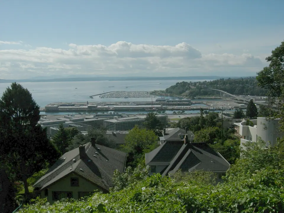
The cove honors Dr. Henry A. Smith (1830 to 1915), a physician and poet from Wooster, Ohio, who in 1853 became one of the first white settlers in what is now Seattle. For a short time, the cove was even considered as a possible center for the young city.
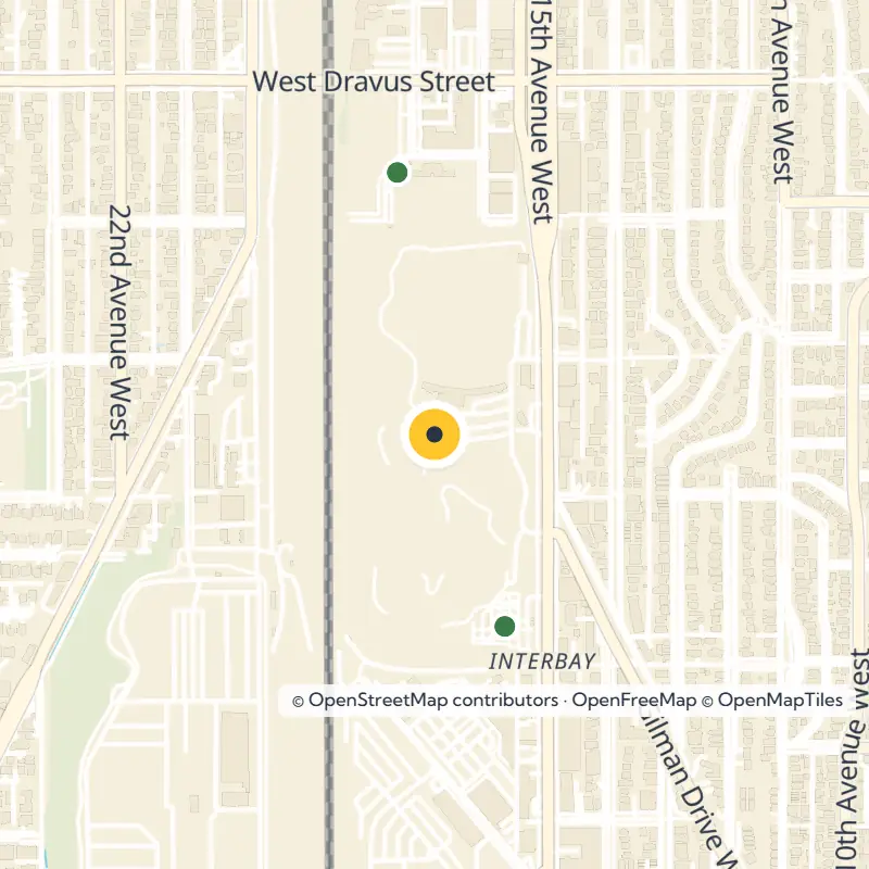
Smith first claimed land on Salmon Bay near present-day Ballard, and then he, his wife, his mother and his sister claimed or bought land moving south through what is now Interbay. The family kept buying during the Indian War of 1855 and 1856, a time when many others were selling. Smith also founded a settlement called Boulevard, about halfway between the cove and Salmon Bay, near today's West Dravus Street.
Duwamish place names
Long before that, Smith Cove lay within the traditional range of the Duwamish people. University of Washington ethnologist T. T. Waterman recorded several Native place names near the cove, including Silaqwotsid, meaning "talking," for the mouth of one creek that drained into it.
From tide flats to rail terminal
In 1884 the Seattle, Lake Shore and Eastern Railway bought nearly all of the 9,600 acres the Smith family then owned, though that line never built major facilities at the cove. The real transformation arrived in 1892, when James J. Hill's Great Northern Railway bought 600 acres of tide flats here and filled them for its western terminal.
Imagine the scene as it grew: a switchyard, a roundhouse, grain elevators, warehouses and piers for oceangoing ships. In 1896 the Japanese line Nippon Yusen Kaisha made these piers the North American end of the first regular steamship service between Asia and the Pacific Coast, sending lumber out while silk and tea came in.
The Port of Seattle steps in
While the Lake Washington Ship Canal was being built from 1911 to 1916, about 150 acres of Smith Cove tidelands were filled with dredged material. The new Port of Seattle, formed in 1911, paid the Great Northern $150,000 for the docks and about 20 acres, then built two coal and lumber piers numbered 40 and 41, renamed Piers 90 and 91 in 1941. Pier 41 was the largest pier on the Pacific Coast and was thought to be the largest concrete pier in the world at the time.
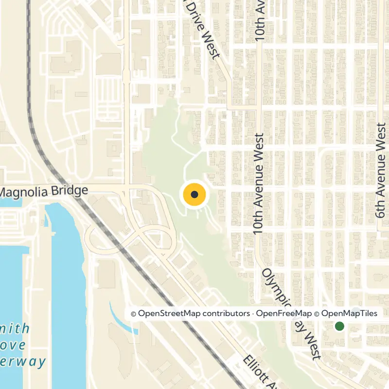
Cross the Magnolia Bridge and you are following another thread of the cove's past. A wooden trestle across the tidelands at West Garfield Street was in place by 1912, a concrete span replaced it in 1930, and it took the Magnolia Bridge name in 1960.
The 1934 Battle of Smith Cove
During the Maritime Strike of 1934, Smith Cove became the center of daily clashes between striking longshoremen, police and strikebreakers. Backed by the Teamsters, strikers nearly stopped all rail and truck traffic in and out of the cove, and on July 20, 1934, Mayor Charles L. Smith led police against 2,000 longshoremen using tear gas and clubs.
The strike ended on July 25. By then, shipping lines already hurt by the Great Depression had moved much of their business to the Port of Los Angeles, and Seattle lost a large share of its maritime traffic.
Navy years and the Admiral's House
In 1941 the U.S. Navy took over the Smith Cove piers, eventually paying the Port more than $3 million and spending another $17 million on surrounding land for a supply depot and receiving station. The 253-acre complex supported operations in the Pacific and Alaska, complete with barracks, mess halls, a hospital, a recreation field and an indoor swimming pool.
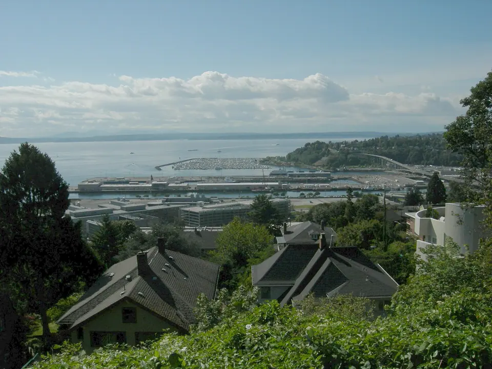
The depot served through the Korean War and into the Vietnam War until the Navy announced its closure in March 1970, and in 1974 the Port bought 198 acres, including the piers, for $10.3 million. Glance up at Magnolia Bluff to spot the Admiral's House, also known as Quarters A, which overlooks the site, was sold in 2013 and stands less than 0.1 mile from the park.
The old cove today
Back under Port control, Smith Cove served as a shipping point for building the Alaska Pipeline. Nissan, first known here as Datsun, ran a shipping and distribution center at the cove from 1974 until 2001, and seafood became a leading export, with cold storage businesses such as CityIce and Trident Seafoods operating on the former tideflats.
As you look around, keep in mind that these landmarks stand on fill that was once part of the cove:
- BNSF Railway rail yards
- Interbay Athletic Field
- Interbay Golf Center
- Washington Army National Guard Armory, on the site of a former naval barracks
Keep exploring with our Interbay neighborhood guide.
Nearby parks for a longer walk
Smith Cove sits among a cluster of small Magnolia and Interbay green spaces, so it is easy to string several together into a longer stroll. Straight-line distances from the park:
- Ursula Judkins Viewpoint, 0.1 mile
- Thorndyke Park, 0.2 mile
- Open Water Park, 0.2 mile
- Magnolia Tidelands Park, 0.2 mile
- Magnolia Greenbelt, 0.2 mile
- 32nd Ave W Boat Launch, 0.5 mile
- Magnolia Park, 0.5 mile
For more ideas across the city, browse all parks in Seattle, and check with Seattle Parks and Recreation for current hours and park details before you go.