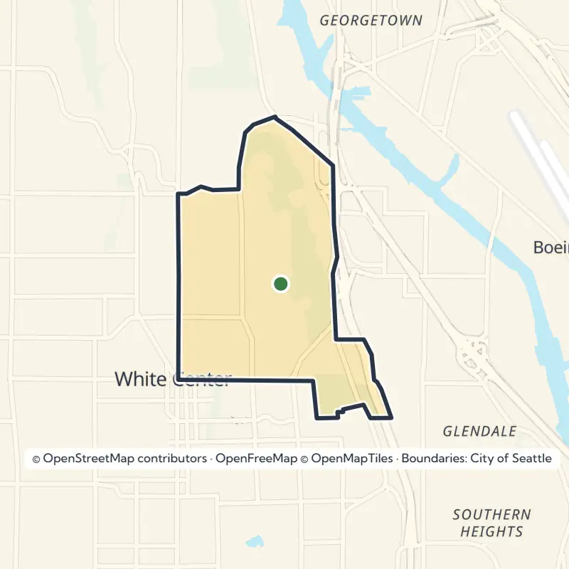
To get your bearings, keep an eye on the two main roads that carry most of the traffic: Rainier Avenue South and Renton Avenue South.
Kubota Garden, the Big Draw
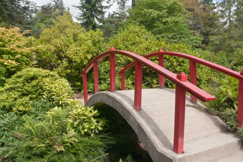
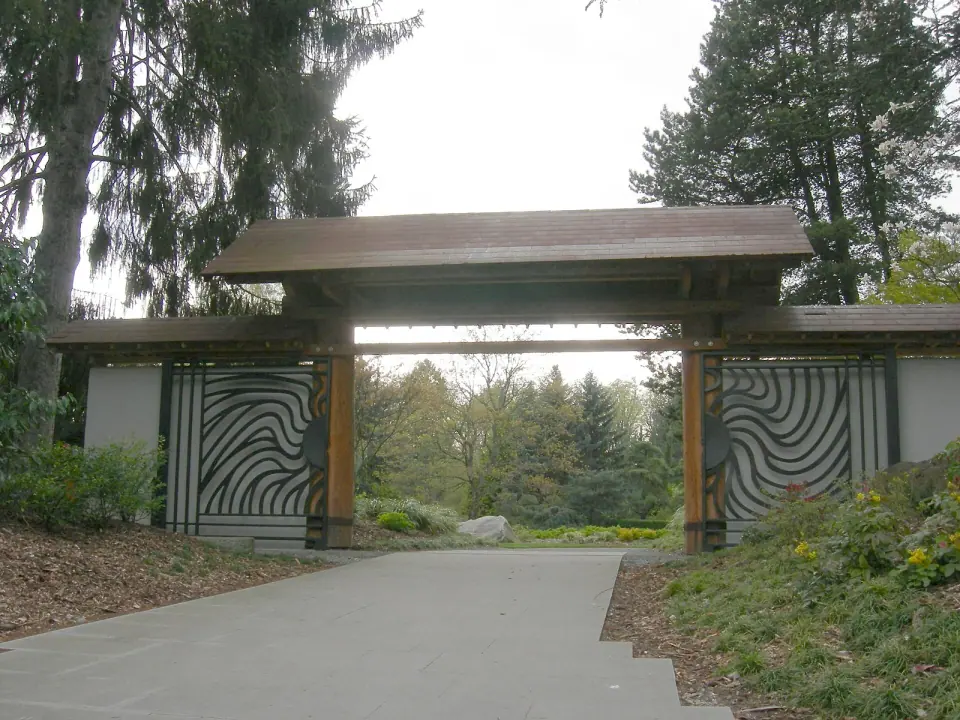
Most visitors come for Kubota Garden, a 20-acre Japanese garden run as a city park. Fujitaro Kubota began shaping this land in 1927, weaving Japanese garden traditions together with Pacific Northwest plants and landscape. Stroll its paths and you will see a style that is distinctly Japanese American.
From Family Garden to Public Park
World War II interrupted Kubota's work when Japanese Americans were forced into internment. He returned and kept tending the site until his death in 1973, and his family went on protecting it after him. The city named the garden a historical landmark in 1981, and it opened as a public park in 1987.
That same year, the city bought roughly 17 acres of neighboring land as a natural area, and together the two protect about 21.5 acres of Mapes Creek and its headwaters ravine. Since 1990, a nonprofit called the Kubota Garden Foundation has helped care for the garden in the spirit of its founder. Dig deeper into the story with our guide to the history and highlights of Kubota Gardens.
Planning Your Visit
You can visit any day of the week during daylight hours. Seattle Parks and Recreation gardeners keep the grounds, joined by volunteers, many of them from nearby neighborhoods. Before you set out, check with the city for any current changes to access or programs.
Creeks, Ravines and the Lakeshore
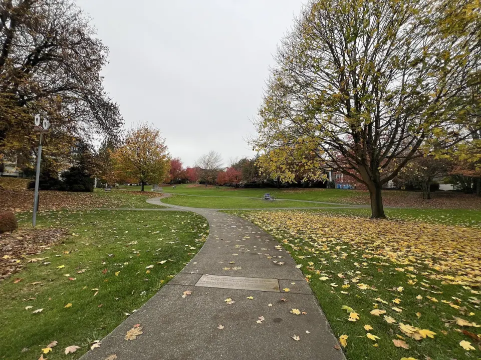
Step beyond the garden and you will find Rainier Beach unusually green for a city neighborhood. Steep ravines kept some land from ever being built on, and decades of volunteer work have helped bring its streams back to life.
Lakeridge Park and Taylor Creek
Spend an afternoon in Lakeridge Park, which protects 35.8 acres of Taylor Creek and Deadhorse Canyon, land once judged too steep for houses. Taylor Creek ranks among the four largest streams within urban Seattle, running from Deadhorse Canyon through the park and on into Lake Washington.
Volunteers have been restoring this place since 1971, planting thousands of native trees and plants, hauling out tons of trash and pulling invasive species. With the city's help, they have also removed culverts that blocked fish and improved the trails you walk today, and in 2010 the city launched a project to improve fish passage on the creek.
Keep your eyes open as you go. Raccoons, opossums and birds are common sights, and a deer has even been spotted here.
Mapes Creek and Beer Sheva Park
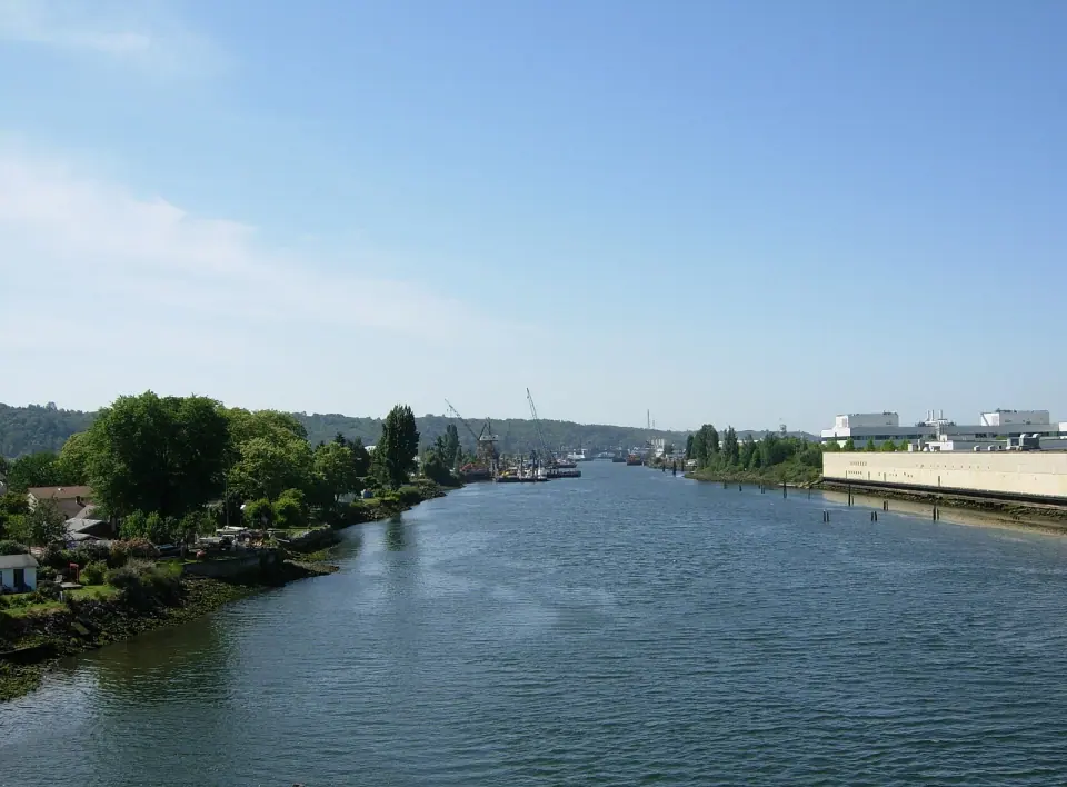
Follow Mapes Creek from its start on a neighborhood ridge, through Kubota Garden and down to the lake at Beer Sheva Park. Once known as Atlantic City Park, it sits near the Atlantic City Boat Ramp, your way onto the water. For more green space, head to Fred Hutchinson Playground and the Deadhorse Canyon Natural Area.
Lend a Hand
Neighborhood stewardship groups look after the local creeks, trails and woods, leading public education and volunteer work alongside the city's Department of Neighborhoods and Seattle Parks and Recreation. Join a work party and you will get to know these places with people who know them well.
Early 1900s Landmarks to Seek Out
Emerson School
Look up to the hill above the neighborhood to find Emerson School, built in 1909. The brick Jacobean-style building is a near twin of Seattle's Hawthorne and Greenwood schools from the same era. Seattle's first public kindergarten opened here in 1914, and baseball player and manager Fred Hutchinson, namesake of the Fred Hutchinson Cancer Research Center, counted among its graduates.
Old Fire Station 33
Firehouse 33, a historic landmark from 1914, was built for a single horse-drawn engine in a modified Tudor style meant to suit the homes around it. Look closely for two clever touches: the hose tower was built into the ground instead of rising above the roof, and the equipment bay floor was sloped to give the horses an easier start when an alarm sounded.
How Rainier Beach Took Shape
People have called this place home since the end of the last ice age. The Xacuabš, or Lake People, had a village called tleelh-chus, meaning little island, at the southwest shore of Lake Washington, and their trail through the valley linked them to related villages on Elliott Bay and the Duwamish River. Both groups are now part of the Duwamish tribe, which was dispossessed by the Treaty of Point Elliott in 1855.
As you drive Rainier Avenue South, you are following that old trail, which became a livestock route and then a railway before the road. The island was renamed twice, settling on Pritchard Island in 1900. Electric trolleys reached the valley in the 1890s, and development soon followed.
In 1905, developer Clarence Dayton Hillman marketed the area as the Atlantic City Addition, after the New Jersey resort, adding a pier, bath house, boat house and picnic grounds along the cove. Rainier Beach joined Seattle in 1907. A decade later, construction of the Lake Washington Ship Canal lowered the lake by about 9 feet, turning Pritchard Island into a peninsula.
After World War II the area grew more urban. Lake water quality collapsed in the 1950s, partly because of a sewer outfall near the beaches, until the regional Metro cleanup of Lake Washington in the 1960s brought major improvement.
Rainier Beach is one of only two Seattle neighborhoods where Black residents form a majority, the other being the southern Central District. Its Black population has grown as rising costs elsewhere in the city pushed many families south, and the neighborhood is also home to large Asian and Hispanic communities.
Local schools include Rainier Beach High School and Rainier Valley Leadership Academy, along with Emerson and Rainier View elementary schools and South Shore K-8.
Getting to Rainier Beach
Hop on Sound Transit's Link light rail and ride to Rainier Beach station, the simplest way to arrive from elsewhere in the city. Check Sound Transit for current schedules and connections. If you are driving, follow Rainier Avenue South or Renton Avenue South into the heart of the neighborhood.