The Two Main Streets
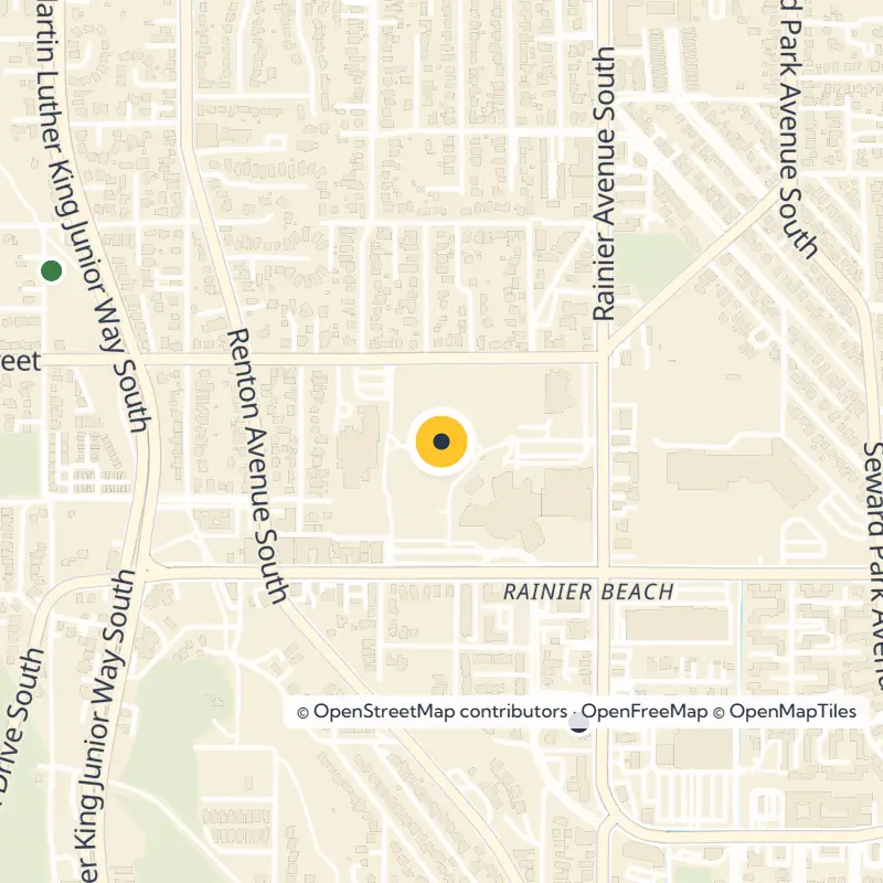
Follow Rainier Avenue South southeast toward Renton and watch it change character as you go. The northern stretch is mostly commercial, the Columbia City section becomes a dense historic district, and the southern end loosens into a mix of shops, apartments and houses.
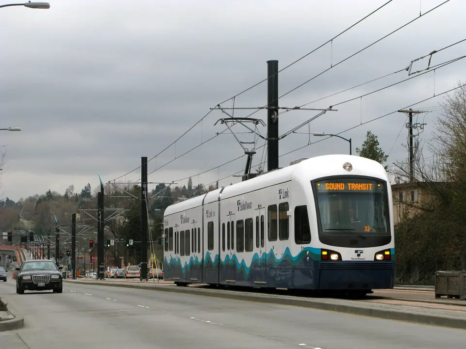
Martin Luther King Jr. Way South, which most people simply call MLK Way, went by Empire Way until the 1980s. Today it carries Seattle's light rail line through the valley. That rail project, along with improvements such as burying overhead wires, brought new homes and businesses to the areas around the Columbia City and Othello stations.
The Neighborhoods, North to South
Locals split the valley into a string of smaller areas. Head south and you pass through:
- Garlic Gulch, the north end, named for its early Italian community
- Genesee, just below the point where MLK Way and Rainier Avenue meet
- Columbia City, the historic core
- Hillman City
- Brighton
- Dunlap
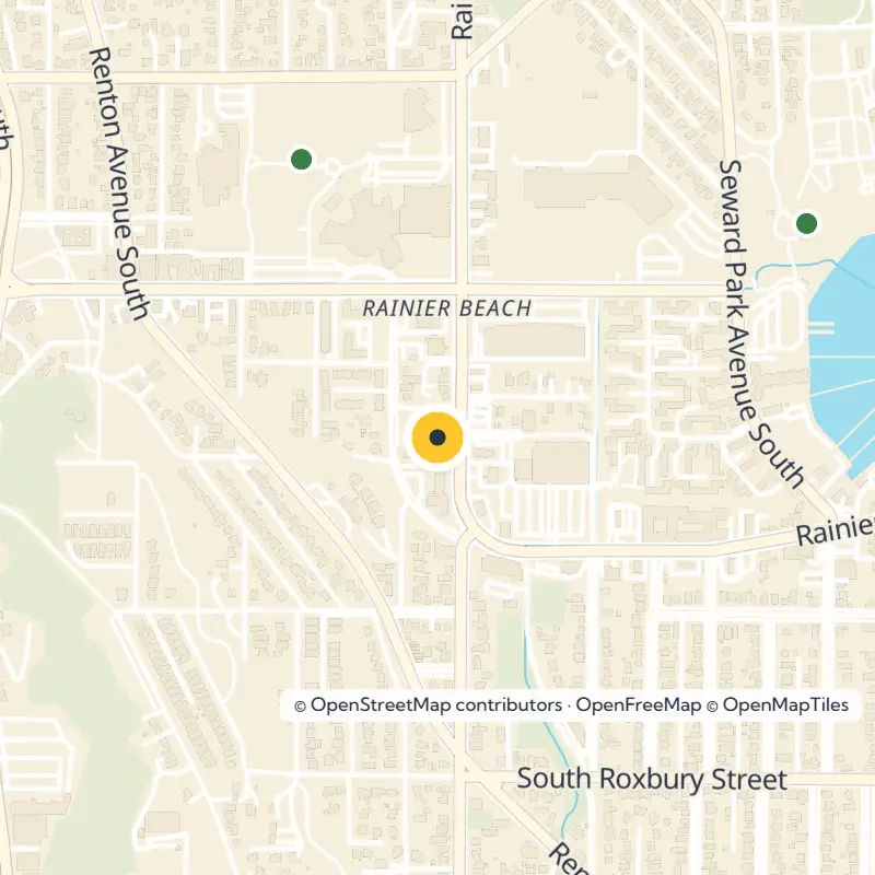
- Rainier Beach, at the southern end along the lake
A Valley of Many Communities
Rainier Valley ranks among the most culturally and economically diverse places in the Pacific Northwest. Roughly 34,000 people live here, and Asian residents make up the largest group, with Filipinos forming the biggest share of that population. Close to a quarter of Seattle's African American residents call the valley home, and Rainier Beach stands as the only Seattle neighborhood where Black residents are the majority.
Layers of Arrival
Long before settlers came in the 1850s, Native peoples kept several camps in the area and a permanent village at the valley's southern end. Italian families shaped the north end in the early 1900s, and Japanese farmers, present from the very beginning, ran nurseries here, including one at Holly Park.
When the Vietnam War ended in 1975, Vietnamese immigrants opened businesses along MLK Way and brought empty stretches back to life. Filipino families settled throughout the valley as well, and St. Edward Roman Catholic Church serves as a cultural center for that community.
The valley has a history of welcoming families who were turned away elsewhere. In the 1950s, interracial couples found it more accepting than Seattle's north end, partly because South End properties carried fewer restrictive deed covenants.
Wartime Housing and the Boeing Years
During World War II, the Seattle Housing Authority built two housing projects here, Holly Park and Rainier Vista, for Boeing and shipyard workers; Holly Park is now known as NewHolly. After the war, a wave of middle-class homebuilding followed and lasted until the Boeing downturn of 1971, which hit the valley's many factory workers hard.
Streetcar Roots and Historic Homes
The neighborhoods along Rainier Avenue are as old as almost anywhere in Seattle. A streetcar line opened in 1892 to link downtown with Columbia City and later Renton, running until 1937. That rail link, together with the lowering of Lake Washington and changes to the Duwamish River, dried the land enough for building to take off.
Wander the side streets and you'll spot prewar and postwar houses standing side by side, a pairing you see less often elsewhere in the city. Many grand early homes once sat on big lots that were later divided. The blocks right around Columbia City are the exception, lined with housing that nearly all dates from before World War II.
Here's a fun footnote for your stroll: from 1902 to 1916, a young dry goods merchant named J. Walter Nordstrom raised his family on an estate in the 3700 block of South Juneau Street.
Columbia City: Where to Start
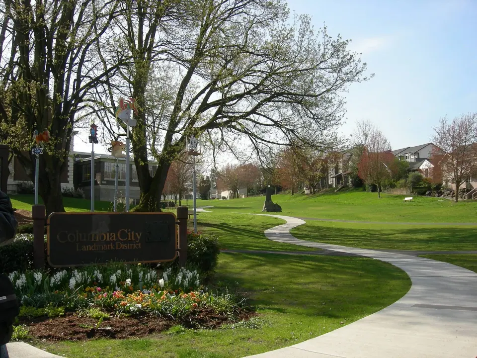
Make Columbia City the anchor of your first visit. Its historic business district is compact and walkable, and it sits right off a light rail station.
Plan around Wednesday afternoons in season, when the Columbia City Farmers Market sets up at 37th Avenue South and South Edmunds Street. It has run from 3 to 7 pm, but check the market's official listing for this year's dates and schedule before you go.
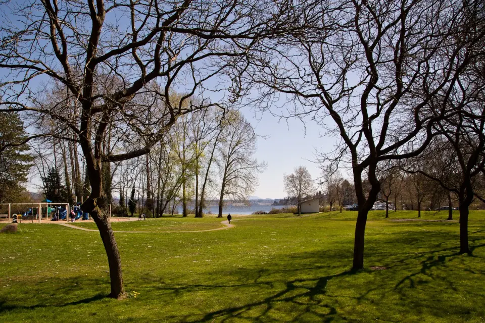
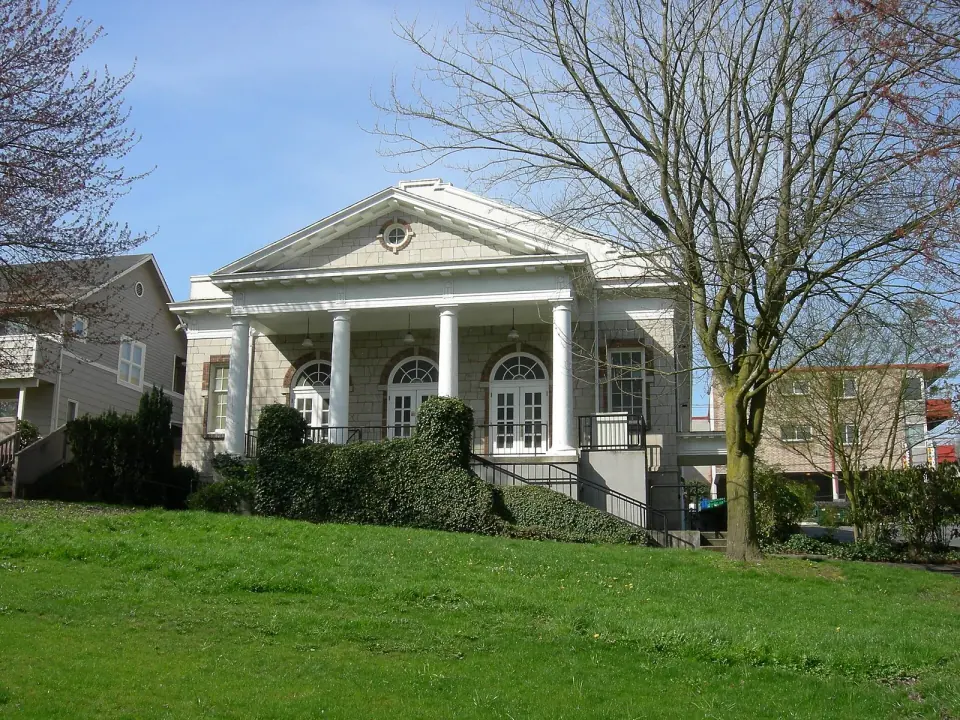
Once you've filled your bag, carry your finds across to Columbia Park, a small green beside the Columbia Branch library, as many shoppers do. The park also hosts summer events and the Honk! Fest West street music festival.
Community Gardens Nearby
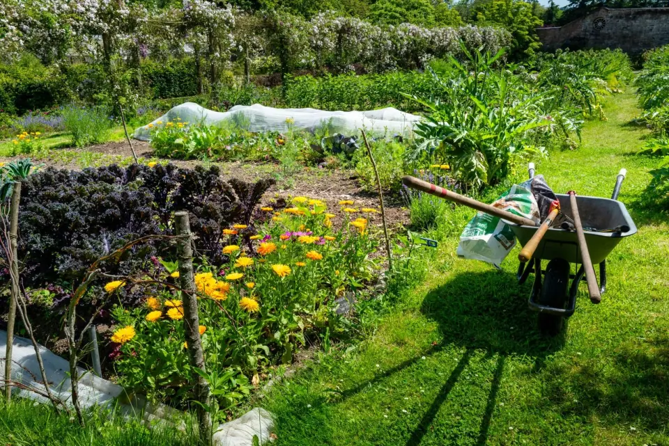
Seattle's P-Patch program has deep roots in the valley. Stop by the Hillman City P-Patch, with 43 plots and a place in the program since 1994. Rainier Vista has several gardens of its own, and Bradner Gardens Park sits at the valley's northern edge.
Lakeside Parks and Green Space
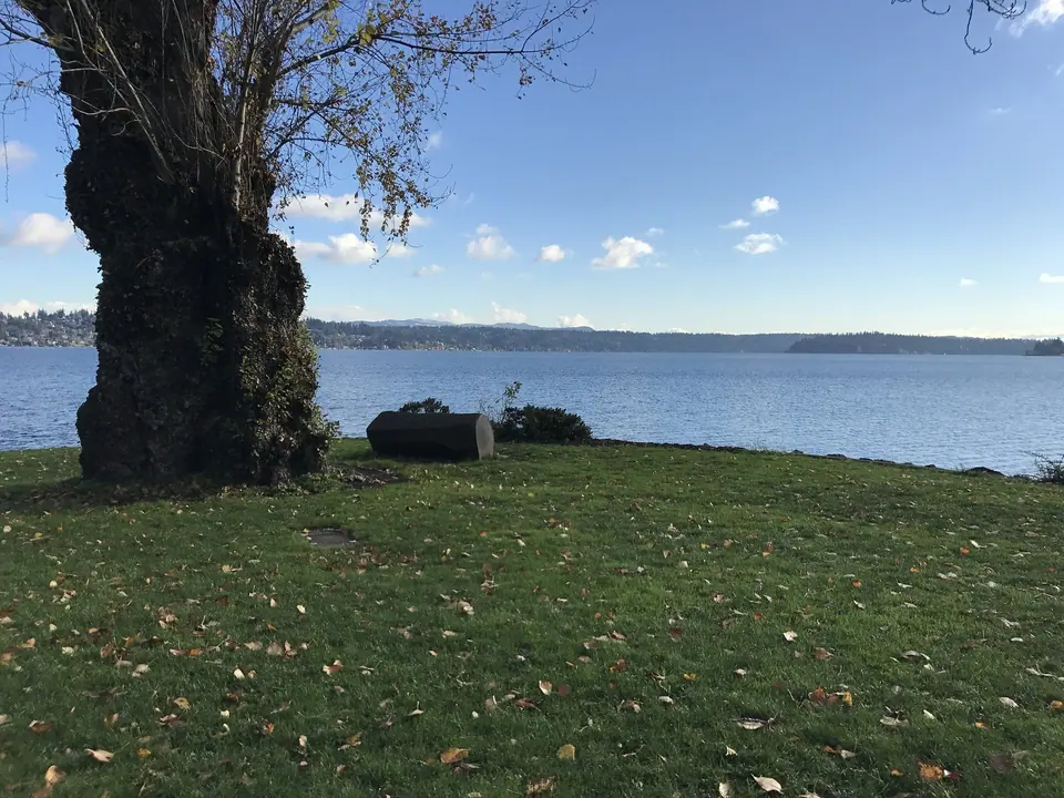
On its eastern edge, the valley slopes down toward Lake Washington, where Seattle Parks and Recreation manages a run of shoreline parks.
Kubota Garden
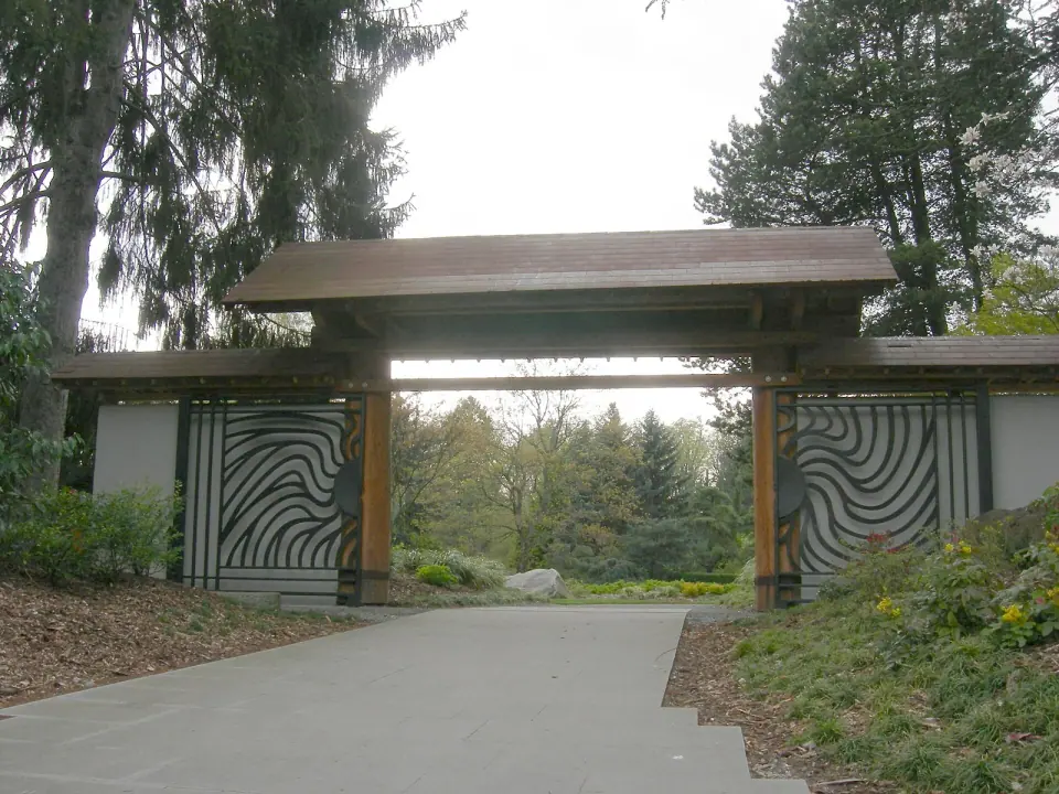
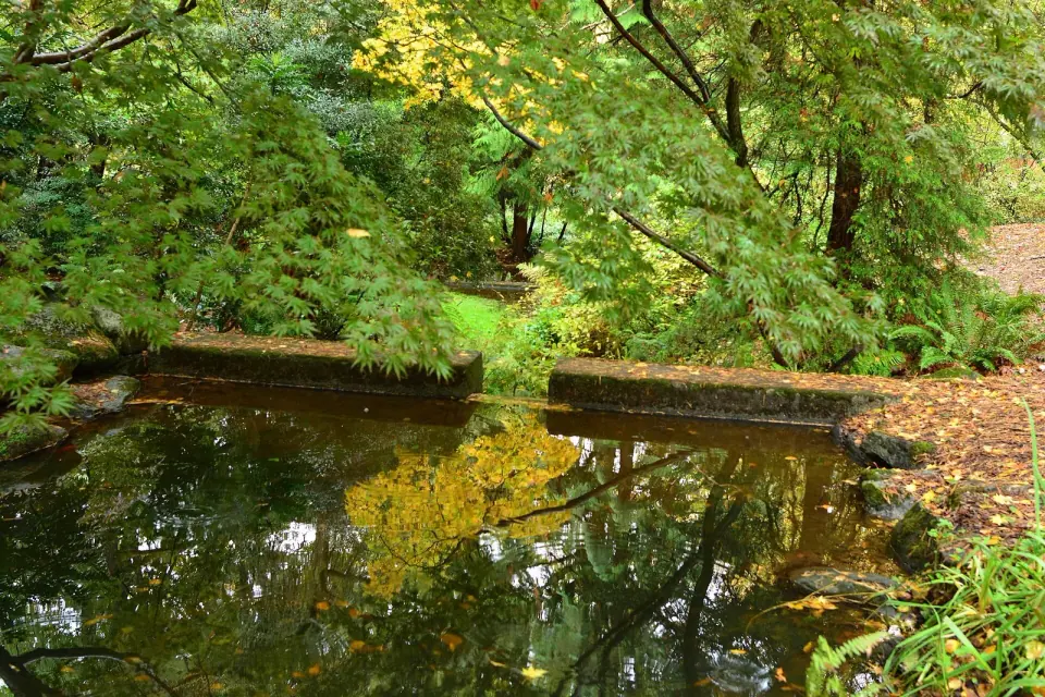
Save time for Kubota Garden in Rainier Beach, the standout of the valley's green spaces. Fujitaro Kubota began this 20-acre Japanese garden in 1927, and it has been a city park since 1987. It is also a City of Seattle landmark, open daily during daylight hours.
On the Water
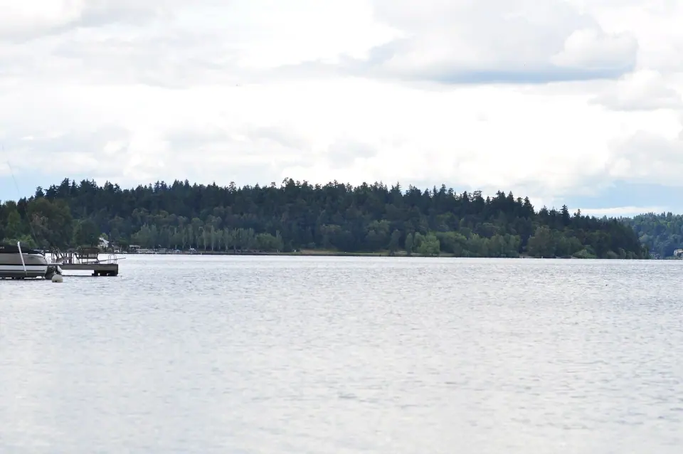
Head to Beer Sheva Park, first dedicated in 1905 and renamed in 1977 to honor Seattle's sister city in Israel. Farther south in Dunlap, Pritchard Island Beach gives you another lakefront stop.
Just east in Mount Baker, Colman Park spreads across about 24 acres sloping down to the lake. It began as an 1880s city pumping station and joined the National Register of Historic Places in 2020.
Fields and Playgrounds
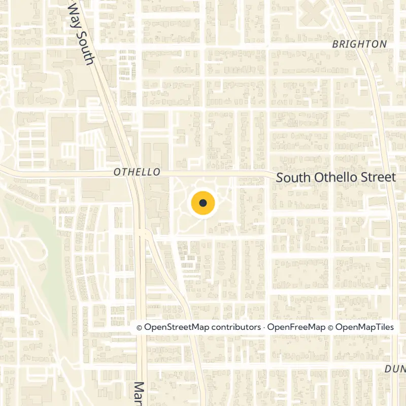
Bring the kids along, because families have plenty of choices. Genesee Park and Playfield, Rainier Playfield and Rainier Beach Playfield all offer room to run, and the Amy Yee Tennis Center serves players at the north end. In Brighton, Othello Playground sits a short walk from NewHolly's community gardens and its library branch.
Eating Your Way Through the Valley
Food is one of the best reasons to linger. Small delis, bakeries and restaurants fill the valley, reflecting the many communities who live here. Look along MLK Way for the Vietnamese businesses that took root after 1975, and browse Columbia City's main street, the easiest place to explore on foot.
Planning Your Visit
Ride light rail for the simplest trip in, with stations at Columbia City and Othello among others. Pair a Columbia City stroll with the Wednesday market in season, or continue south to Kubota Garden for a quieter afternoon. Before you set out, check with Seattle Parks and Recreation or the Seattle Public Library for current hours, events and park details.