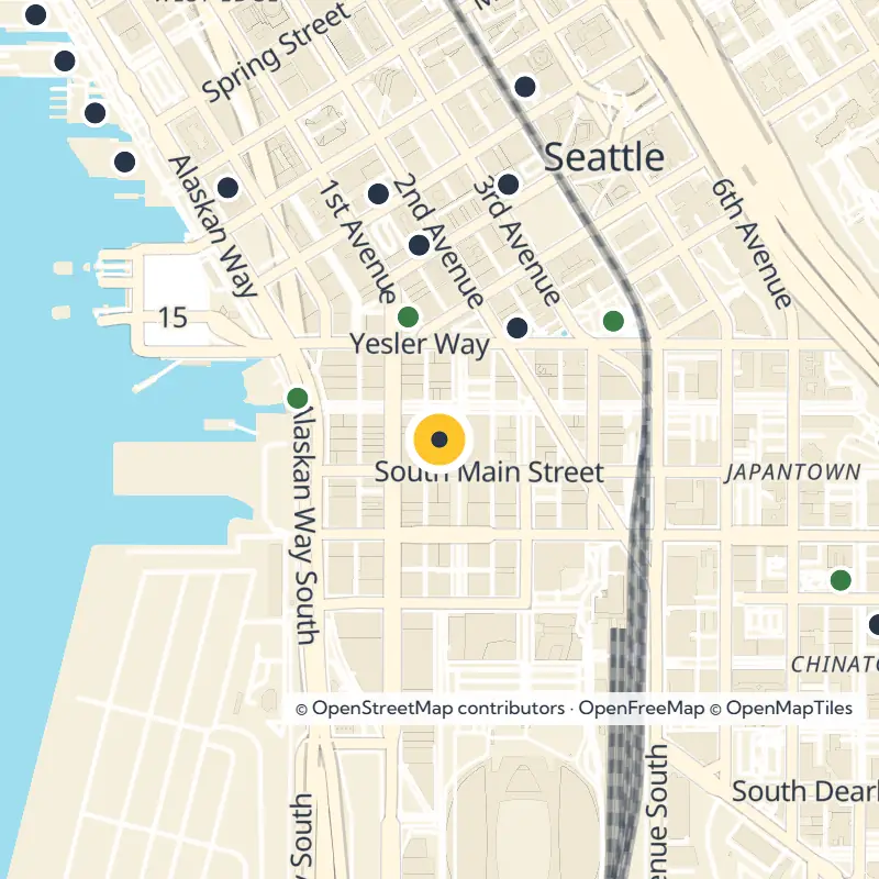
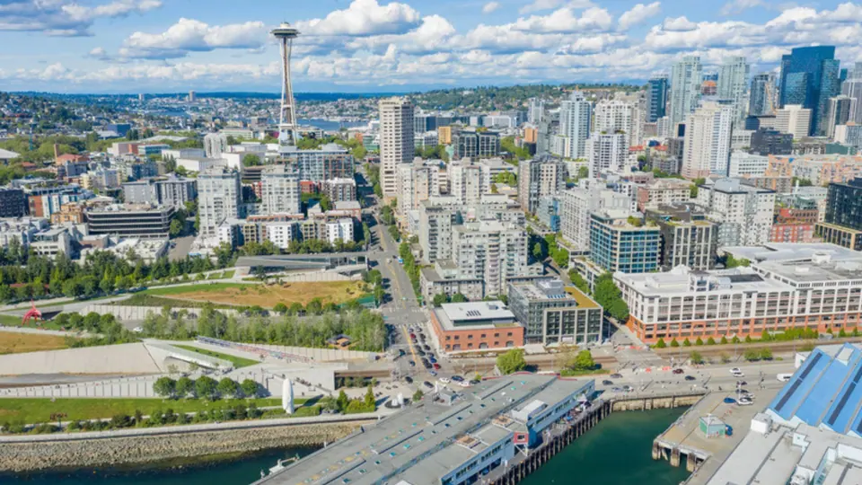
The protected Pioneer Square Skid Road Historic District, listed on the National Register of Historic Places, spills past these lines in places. Its reach includes Union Station east of 4th Avenue S and several blocks south of King Street.
The Plaza Behind the Name
The neighborhood takes its name from a small triangular plaza near First Avenue and Yesler Way, first called Pioneer Place. Start your visit right here, at what is now Pioneer Square Park and its Tlingit totem pole, the natural first stop on any walk through the district.
A Crossing Place Long Before Settlers
Long before any mill or saloon, this shoreline held a winter village called Dzidzilalich, a Lushotseed name meaning roughly "the little crossing over place." It sat on an ancient trail leading to fishing tideflats and inland toward Lake Washington. Ancestors of today's Duwamish, Suquamish and Muckleshoot peoples built it, and at its height it held eight longhouses and about 200 residents.
The longhouses stood empty by 1852, yet the site remained an important place for gathering and trade, and Lushotseed speakers kept using the name for Seattle until at least World War II. Settlers later forced Native people out through harassment, the 1855 Treaty of Point Elliott and an 1865 city law, burning 94 Duwamish longhouses between 1855 and 1904.
Even so, the young town depended on Native labor and trade. Many visitors camped on Ballast Island, a small artificial island of dumped ship ballast near Washington and Main streets, where people raced canoes, smoked salmon and hosted feasts until piers covered it in the 1890s. Later regrading buried much of the old village, which has made its history hard to study.
From Mill Town to the Original Skid Road
In 1852, Arthur Denny, Carson Boren and William Bell left their first camp at Alki and settled on this spot for its better harbor. That same year Henry Yesler placed his lumber mill at the foot of what is now Yesler Way, right on the line between Doc Maynard's claim to the south and the Denny and Boren claim to the north.
Yesler Way, first called Mill Street, grew into the neighborhood's main east to west street and its moral dividing line. South of it, vice was tolerated for decades, earning the area nicknames like the Lava Beds, the Tenderloin and Down on the Sawdust. The name that stuck longest was Skid Road, which lives on in the historic district's title.
Picture these blocks crowded with brothels, gambling halls, pawnshops and box houses that mixed theater, bar and brothel, where police reportedly entered only in groups. In the middle of it all, Father Francis Xavier Prefontaine founded the city's first Catholic church in 1870 at Third Avenue South and Washington Street. Look for Prefontaine Place, which still carries his name.
The Fire That Shaped the Streets
Seattle had about 40,000 people and was the largest city in Washington when the Great Seattle Fire swept through the mostly wooden neighborhood in 1889. A strong economy kept rebuilding moving fast, and by the end of 1890 dozens of brick and stone buildings had replaced the old frame ones.
Look up as you walk and you will see the heavy arches and rough stone of the Richardsonian Romanesque style, with some earlier Victorian touches. That late 19th century building stock gives the district its remarkably consistent feel. Much of it also rests on landfill, since a low offshore island once lay between First and Second avenues and regrading smoothed away the steep bluffs inland.
Head Underground
Drainage problems after the fire led the city to raise street levels, effectively burying the old ground floors. Builders saw this coming, so many buildings got two entrances, one at the old low level and one higher up. Join the Seattle Underground Tour to walk through what remains of those original storefronts, and check with the tour operator directly for current times and booking details.
The Gold Rush Years
During the Klondike Gold Rush of 1897 and 1898, thousands of stampeders passed through Seattle on their way to Alaska. Local merchants prospered by outfitting them, and the rebuilt neighborhood sat at the center of that trade.
Landmarks to Seek Out
Smith Tower
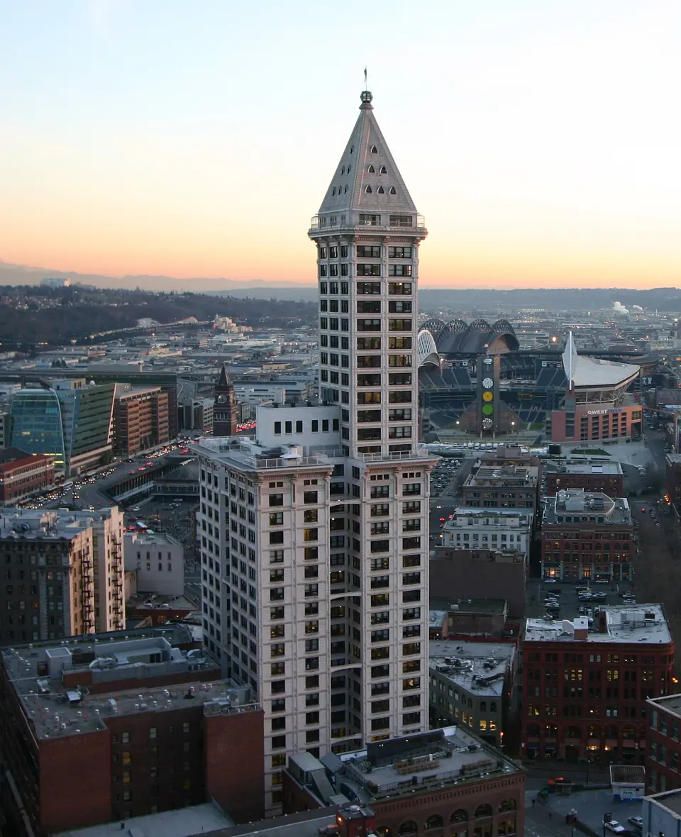
Find the white terra cotta Smith Tower at 506 2nd Ave, which opened in 1914 and reigned as the tallest building on the West Coast until the Space Needle rose in 1962. Its pale tower stands out against the darker brick around it, making it an easy landmark to steer by from almost anywhere in the district.
The Tlingit Totem Pole
The 50 foot pole in Pioneer Square Park is a National Historic Landmark with an uncomfortable story. The original was carved in Alaska around 1790 and stolen by a group of Seattle citizens in 1899, and the pole you see today is a 1940 replica. Take time to read its history before or during your visit.
Historic Blocks Along the Way
Keep an eye out for the Lyon Building, the Hoge Building and the Flatiron Building as you wander, then take in Union Station at the district's eastern edge. Together they trace how the neighborhood grew from its post-fire core into the early 20th century.
Small Parks Among the Brick
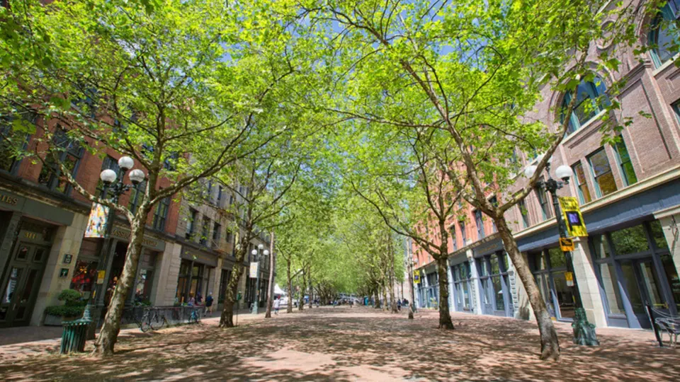
Occidental Square
Make Occidental Square on S Washington Street your easy base for exploring. Smith Tower and the Hoge and Lyon buildings are a short stroll away, with several other small parks close by.
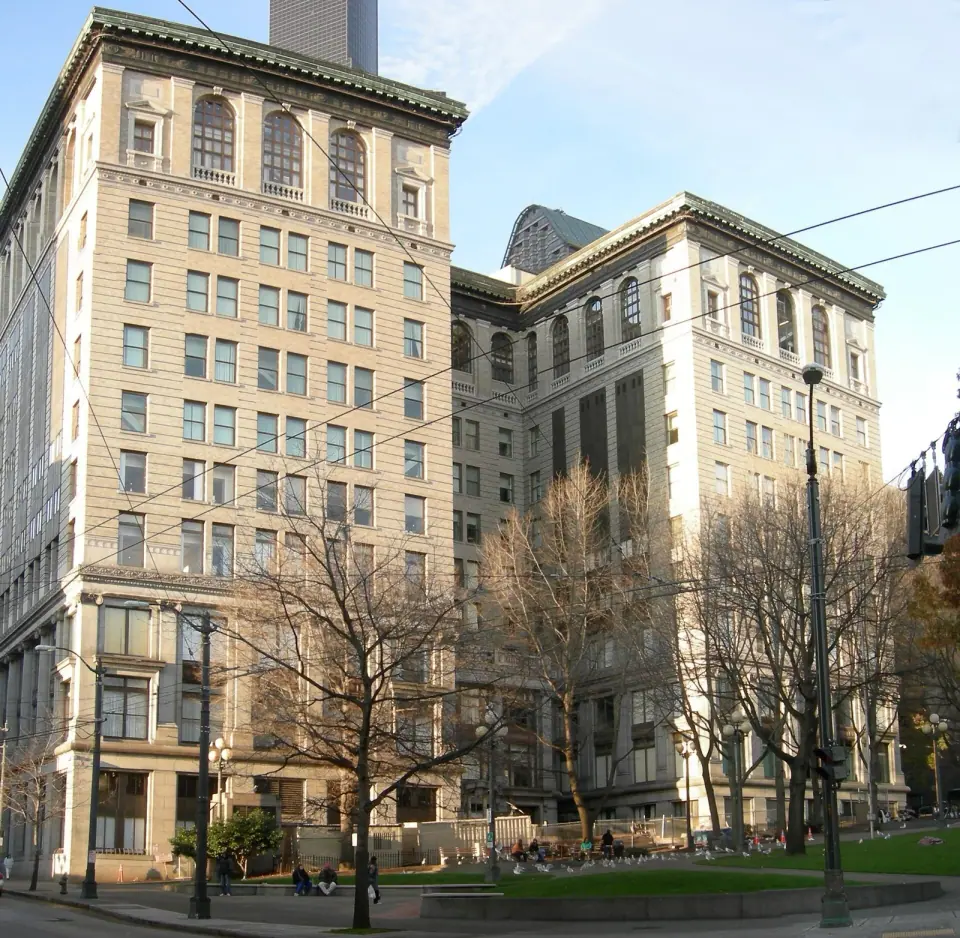
City Hall Park
Spread out on the 1.3 acre lawn of City Hall Park, next to the King County Courthouse. It reopened in 2023 with a restored lawn, a permanent park ranger and a nightly art installation honoring Coast Salish voices, linking the space back to the land's first people.
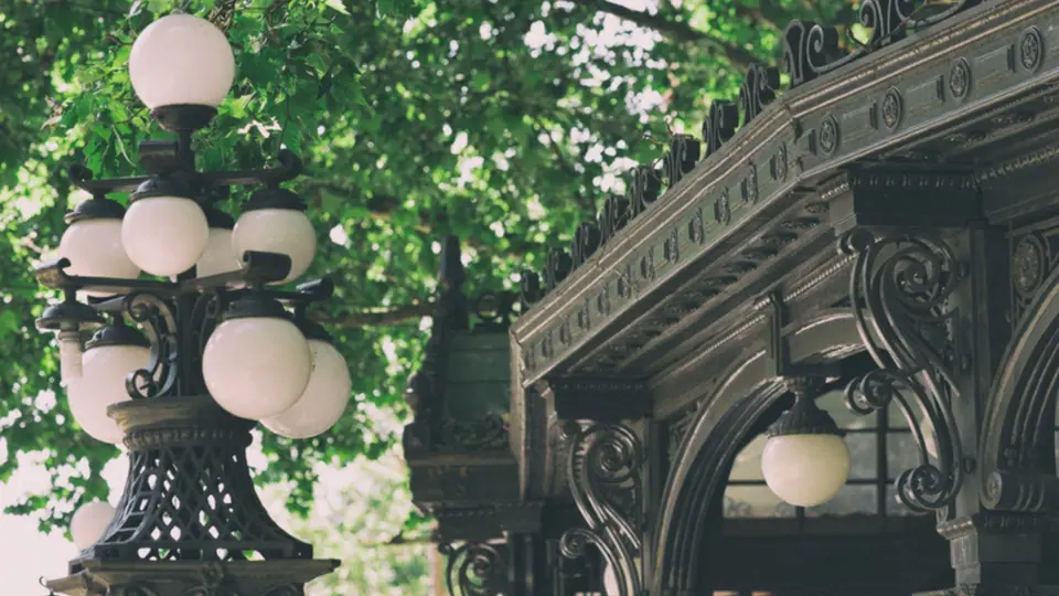
Washington Street Public Boat Landing
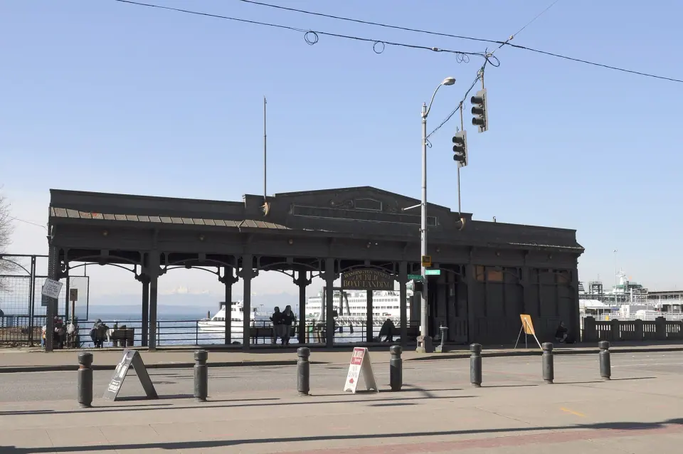
Down on Alaskan Way S, the Washington Street Public Boat Landing is a 1920 pergola built for the Seattle Harbor Department and listed on the National Register of Historic Places. It makes a fine waterfront finale to your walk through the district.
Your Walk Through the District
Begin at the totem pole near First and Yesler, then wander over to Occidental Square and up to Smith Tower. From there, swing past City Hall Park by the courthouse before heading west to the boat landing on the water. Add the Underground Tour to round out the day with a look at what lies beneath the sidewalks.