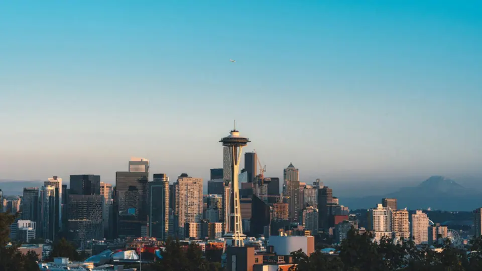
A Seattle ZIP code map by area
The simplest way to learn the system is to group the codes by part of town. Picture a walk around the city that starts in the core and moves steadily outward.
The urban core: 98101, 98104, 98121 and 98134
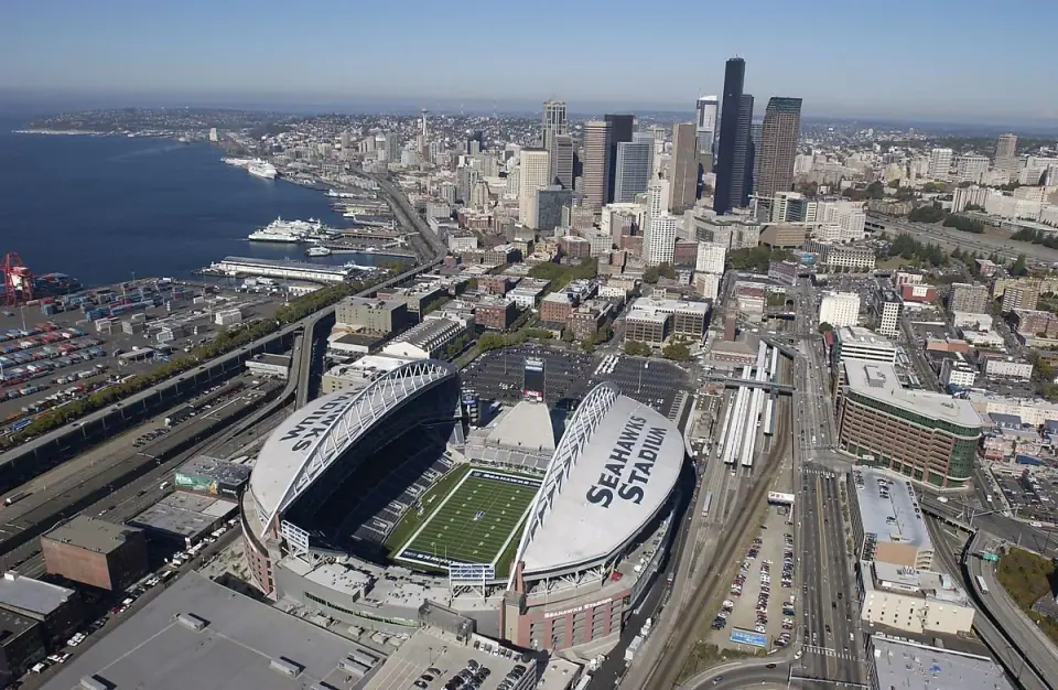
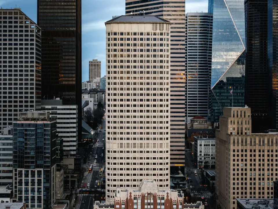
Start in 98101, downtown proper and the heart of the high-rise business district. Stroll into 98121, which covers Belltown with its condos and nightlife. 98104 takes in Pioneer Square, the International District and part of First Hill, blending historic streets with a major medical area. Just to the south, 98134 holds the stadium district and the industrial land around it.
Queen Anne, Magnolia and Lake Union: 98109, 98119, 98199 and 98102
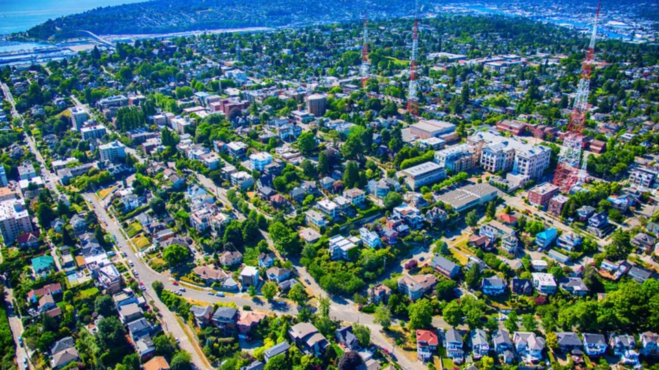
Queen Anne comes in two halves. 98109 is Lower Queen Anne, home to Seattle Center, while 98119 covers the quieter upper hill and its views of the Space Needle. Magnolia keeps a code of its own, 98199, which is worth remembering since people look it up often. Along Lake Union, 98102 covers Eastlake and the northern edge of Capitol Hill.
North of the Ship Canal: 98103, 98105, 98107, 98115 and 98117
Cross the Ship Canal and you reach 98103, one of the busiest residential codes, spanning Fremont, Wallingford, Phinney Ridge and part of Green Lake. 98105 covers the University District along with Ravenna, Laurelhurst and Sand Point. Head to 98107 for Ballard, with its maritime roots and dining scene. 98115 reaches across Wedgwood, View Ridge, Maple Leaf and more, while 98117 takes in Loyal Heights, North Beach, Crown Hill and the rest of Ballard.
The far north: 98125, 98133 and 98177
Keep going north and the feel turns more suburban in 98125, which includes Lake City, Cedar Park and Victory Heights. 98133 takes in Bitter Lake, Broadview and part of Greenwood, running up toward Shoreline. 98177 rounds out the remaining northern code on the city's list.
Capitol Hill, the Central District and Madison Park: 98112 and 98122
Much of Capitol Hill, the Central District and part of First Hill share 98122, an area with an artistic streak and large medical facilities. Follow it east to the lakefront and you are in 98112, which takes in Madison Park, Washington Park, Broadmoor and the eastern part of Capitol Hill.
Southeast Seattle: 98108, 98118, 98144 and 98178
In the southeast, 98144 covers Beacon Hill, Mount Baker and the northern Rainier Valley, with light rail running right through. 98118 carries on south through Columbia City, Hillman City and Rainier Beach. 98108 holds Georgetown, South Park and the industrial district, and 98178 sits at the southern end of the city.
West Seattle and White Center: 98106, 98116, 98126, 98136 and 98146
West Seattle uses several codes, which can trip up newcomers. Head to 98116 for the beach side, with Alki, Admiral and Beach Drive. 98136 covers Fauntleroy and Arbor Heights near the ferry. 98106 and 98126 share Delridge and Highland Park, and 98146 covers White Center and North Highline.
Codes without a neighborhood
A handful of codes will never turn up on a home listing. 98113 is a downtown post office box code, and many of the small downtown codes serve single buildings. 98195 also appears on the city's census tract list as its own code in the University District area. When an address carries one of these, read it as a mailing detail rather than a neighborhood.
Neighborhood names and ZIP lines rarely match
ZIP boundaries follow postal routes, not the neighborhood names locals use. Green Lake is split between 98103 and 98115, Ballard spills across 98107 and 98117, and Ravenna falls in both 98105 and 98115. West Seattle, as you saw above, spans five codes.
Treat a code as a good starting point rather than a perfect label. When you are comparing places to live or stay, pair it with our guide to Seattle neighborhoods to get a real feel for each area.
What ZIP codes suggest about home prices
Local real estate listings tend to place 98112 (Madison Park and Broadmoor) and 98199 (Magnolia) at the top of the price range. Codes such as 98108 (Georgetown), 98118 (Columbia City) and 98146 (White Center) usually rank among the more affordable options. Markets shift, so check current listings before drawing any conclusions.
Checking an exact boundary
For a precise answer, turn to the City of Seattle's map of 2010 census tracts and ZIP code boundaries. It shows how each tract lines up with a code, which helps when an address sits near the edge of two areas. Since it dates from the 2010 census, confirm any address that matters with the postal service.
Once you know where you are headed, the codes make planning simpler. Browse things to do in Seattle, find green space with our Seattle parks guide, or see which Seattle landmarks sit in the part of town you are visiting.