- Discover Pass: Mount Si and Little Si, Poo Poo Point and the rest of Tiger Mountain, Wallace Falls State Park and Twin Falls at Olallie State Park.
- Northwest Forest Pass or America the Beautiful: Lake Serene, Franklin Falls, Snow Lake, Mount Pilchuck and the Maple Pass Loop.
The Forest Service sells digital day passes through Recreation.gov, and some Snoqualmie-area trailheads, including Franklin Falls and Snow Lake, have card-only fee machines.
Easy trails inside Seattle
You do not need a car or a pass to find forest and shoreline. These city parks make great first hikes, short outings with kids, or a walk on the day you land.
Discovery Park
Start with Discovery Park, Seattle's largest park, where 560 acres of meadow, forest, sea cliffs and two miles of protected tidal beach spread across Magnolia Bluff. Walk the trails through forest groves and open meadow to the bluff for views over Puget Sound to the Olympic and Cascade ranges, then follow the South Beach Trail toward the West Point Lighthouse, established in 1881.
Carkeek Park
Head to north Seattle's Carkeek Park, a 216-acre forested ravine with about six miles of trails along creeks, meadows, wetlands and beaver ponds. The main road loops down to an open meadow and beach, so you can wander the creekside trails and finish with a view of Puget Sound.
Seward Park
Walk the old-growth forest at Seward Park, a 300-acre peninsula on Lake Washington with eagle nests, miles of hiking trails and a 2.4-mile loop path along the shore. Leave the shoreline path for the forest trails in the middle of the peninsula, where the city feels far away.
Washington Park Arboretum
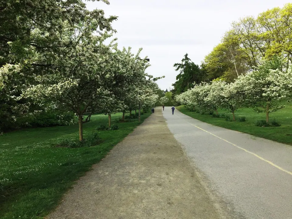
Wander the Washington Park Arboretum, 230 acres on the shores of Lake Washington managed jointly by the UW Botanic Gardens and the City of Seattle. The flat walk out to Foster Island crosses wetlands full of waterfowl, which makes it one of the gentlest outings in town.
Classic hikes along I-90
The I-90 corridor east of the city holds the most popular day hikes near Seattle, from family-friendly ledges to some of the steepest climbs in the state. Go early on weekends, since trailhead lots fill fast.
Rattlesnake Ledge
Climb to Rattlesnake Ledge, a rock outcrop that sits about 1,160 feet above Rattlesnake Lake near North Bend and ranks among the region's most popular hikes. The trail is roughly 4.5 miles round trip on a steady grade, with no parking fee listed at the Rattlesnake Lake Recreation Area, and strong hikers can continue up the ridge for more views. Stay well back from the edge, since the ledge drops sharply.
Little Si and Mount Si
Pick your challenge at the Mount Si Natural Resources Conservation Area outside North Bend, where a Discover Pass is required at both trailheads. Little Si is about 5 miles round trip with around 1,200 feet of gain and interesting rock formations along the way, a good warm-up for its big neighbor. Mount Si is the real workout: the main trail runs about four miles one way and climbs roughly 3,500 feet to the summit ridge, with an interpretive boardwalk at Snag Flats about two miles up and an exposed scramble on the rocky Haystack for experienced hikers only.
Poo Poo Point via the Chirico Trail
Watch paragliders launch from Poo Poo Point, a bare ridge on the west side of Tiger Mountain named for the steam whistles loggers once used to signal each other. The Chirico Trail starts at the paraglider landing field off Issaquah-Hobart Road and makes a short, steep climb of about 3.5 miles round trip with roughly 1,600 feet of gain. Tiger Mountain is a state forest managed by DNR, so bring your Discover Pass.
Mailbox Peak
Test your legs on Mailbox Peak, a 4,841-foot summit about seven miles east of North Bend with its famous mailbox on top. The newer, gentler trail is still a long day of roughly 9.4 miles round trip and about 4,400 feet of gain, finishing with a boulder climb to the summit, and a Discover Pass is required. Start early and carry plenty of water.
Twin Falls
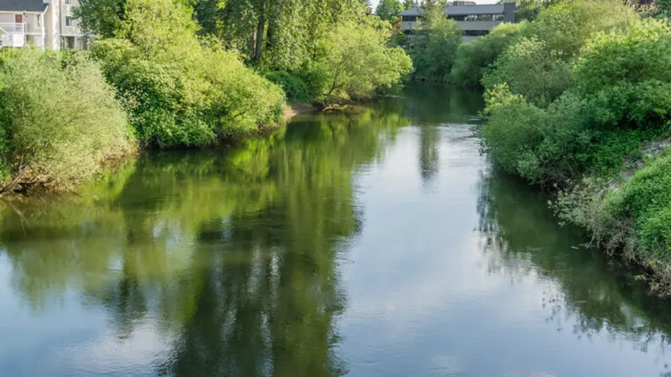
Stroll to Twin Falls, the 135-foot showpiece of Olallie State Park about five miles southeast of North Bend, where the park stretches along the South Fork of the Snoqualmie River. It is a Discover Pass site, and State Parks posts closures, such as the Lower Falls viewpoint, on its alerts page.
Franklin Falls and Snow Lake
Drive up toward Snoqualmie Pass for two Forest Service favorites. Franklin Falls, the first of three major waterfalls on the South Fork Snoqualmie River, is a short, gentle walk just off exit 47 that stays popular even in winter. Snow Lake is a bigger day in the Alpine Lakes Wilderness, rewarding a steady climb with a lake set among high peaks.
Waterfalls and summits north of Seattle
Wallace Falls
Follow the Woody Trail at Wallace Falls State Park near Gold Bar, through lush forest along the Wallace River to the park's three-tiered falls. Reaching the lower falls is an easy outing, while the full climb to the upper viewpoint is about 5.5 miles round trip with roughly 1,240 feet of gain, most of it on switchbacks above the middle falls. A Discover Pass is required, and State Parks warns that the lot is usually full by 11 a.m. on weekends.
Lake Serene and Bridal Veil Falls
Combine a waterfall and an alpine lake off Highway 2 near Index. Bridal Veil Falls pours about 1,328 feet from Lake Serene toward the South Fork Skykomish River, and a side trail leads to its base before the main trail climbs on to the lake beneath Mount Index. Plan on around 8 miles round trip, budget extra time for the falls detour, and display a Northwest Forest Pass, since the trailhead is in Mount Baker-Snoqualmie National Forest.
Mount Pilchuck
Climb to a historic fire lookout at Mount Pilchuck State Park off the Mountain Loop Highway, about 37 miles northeast of Seattle. The 2.7-mile trail to the summit is rated moderate to difficult, ends with a short boulder scramble to the lookout and rewards you with views from the Cascades to Puget Sound. The trailhead is on Forest Service land, so you need a Northwest Forest Pass or America the Beautiful pass, the access road closes for winter, and water is scarce, so carry your own.
Worth the long drive
Maple Pass Loop
Save the Maple Pass Loop for a full day. The loop starts at Rainy Pass on the North Cascades Highway, a drive of several hours from Seattle, and covers just over 7 miles with about 2,000 feet of gain past Heather Pass, views down to Lake Ann and golden larches along the ridge. A Northwest Forest Pass is required, and the trail is famous for golden larches in fall, when it gets very crowded. Rainy Pass and Washington Pass are typically closed from November to April because of heavy snow, so this is a summer and early fall hike.
More big-view day trips
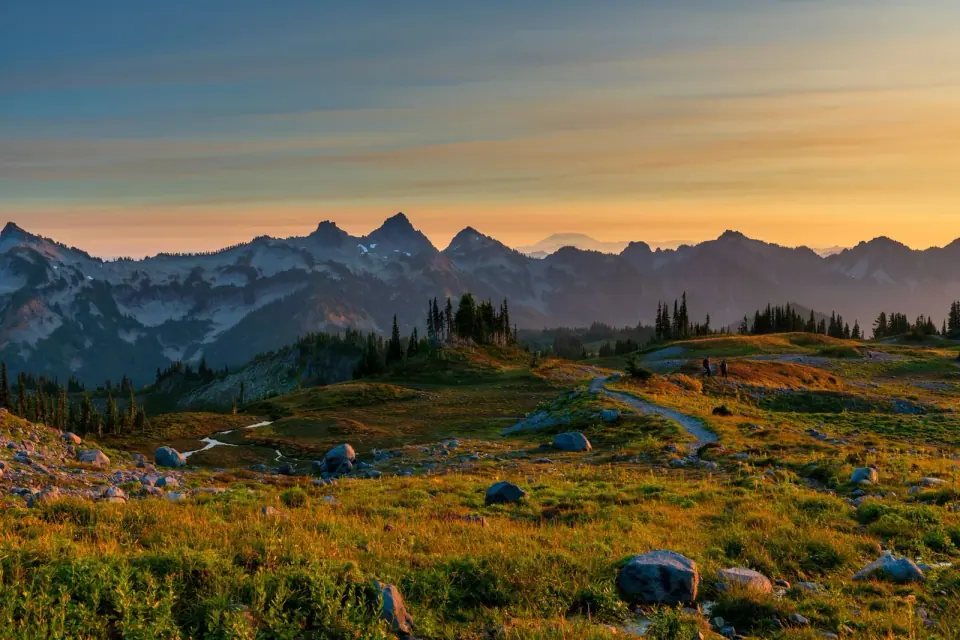
For coastal bluffs, walk the Bluff Trail at Ebey's Landing National Historical Reserve on Whidbey Island, with views over the Strait of Juan de Fuca. For wildflowers and glaciers, see our guide to Mount Rainier hikes, and browse day trips from Seattle for more ideas.