Crossing the Bridges
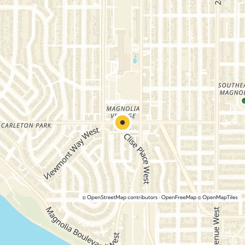
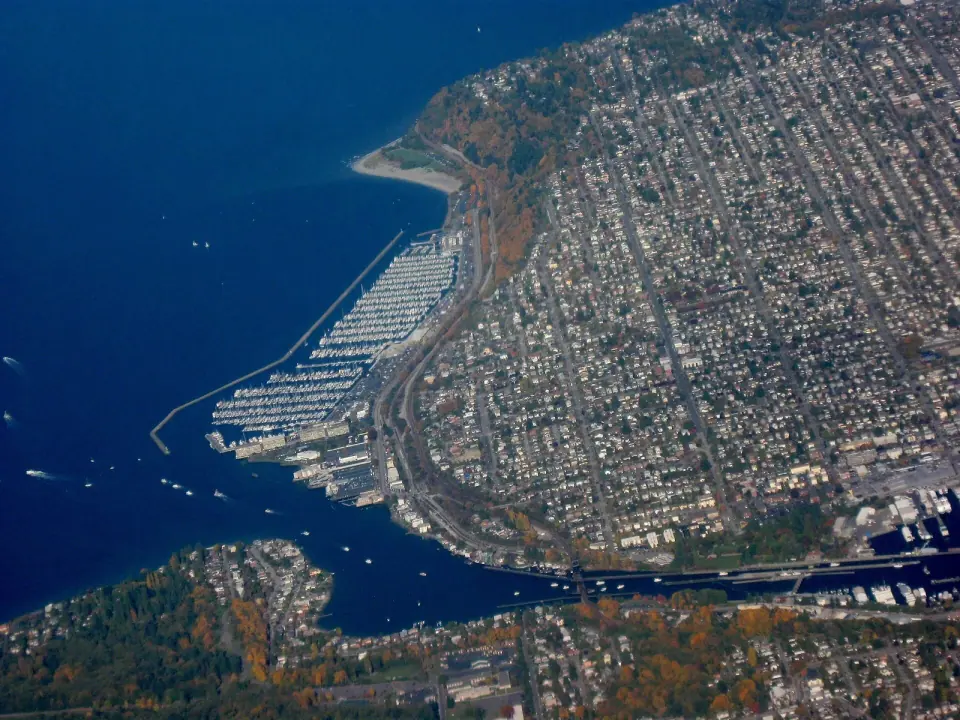
Part of Magnolia's set-apart feeling comes from how you arrive, since only three road bridges cross the rail tracks into the rest of Seattle. Take W. Emerson Street for the north, W. Dravus Street for the middle, or W. Garfield Street, known as the Magnolia Bridge, for the south. The rail bridge to Ballard carries no cars, and vehicles cannot cross at the Hiram M. Chittenden Locks.
Plan your route before you set out. Choose the bridge closest to where you are headed on the headland, and enjoy how much calmer the neighborhood feels once you are across.
How a Mix-Up Named Magnolia
The name traces back to Captain George Davidson of the U.S. Coast Survey, who named the area in 1856 after reportedly mistaking the many madrona trees on the bluffs for magnolias. Today real magnolia trees do line W. McGraw Street in the commercial district, while local groups work to protect the madronas that remain.
Spend Saturday at the Magnolia Farmers Market
Make the Magnolia Farmers Market the centerpiece of your week here, set up at 33rd Ave W and W McGraw St. City records list it as a seasonal Saturday market running 10 am to 2 pm, though seasons and hours can shift from year to year, so check the official market listing before you go.
The market sits in the Village, which is what locals call Magnolia's business district. After you shop, stroll along McGraw, where specialty shops, professional services and restaurants fill the blocks.
Parks and Playgrounds Close to Home
Southeast Magnolia favors small, everyday green spaces over big destination parks. For families, that makes it easy to string together a whole morning of play.
Ella Bailey Park
Begin at Ella Bailey Park, a city park at 2601 W Smith St. It sits a short distance from Magnolia School and close to several other parks, so it makes a natural starting point for a neighborhood stroll.
Magnolia Playfield and Bayview Playground
City records also place Magnolia Playfield and Bayview Playground in this part of the headland, and both give kids plenty of room to run. For amenities and current conditions, browse the guide to Seattle parks or check with Seattle Parks and Recreation.
Explore the Wider Magnolia, Seattle Neighborhood
Use Southeast Magnolia as your base for the rest of the headland. Several of the city's standout outdoor spaces are just a short drive or bike ride away.
Magnolia Park and Smith Cove
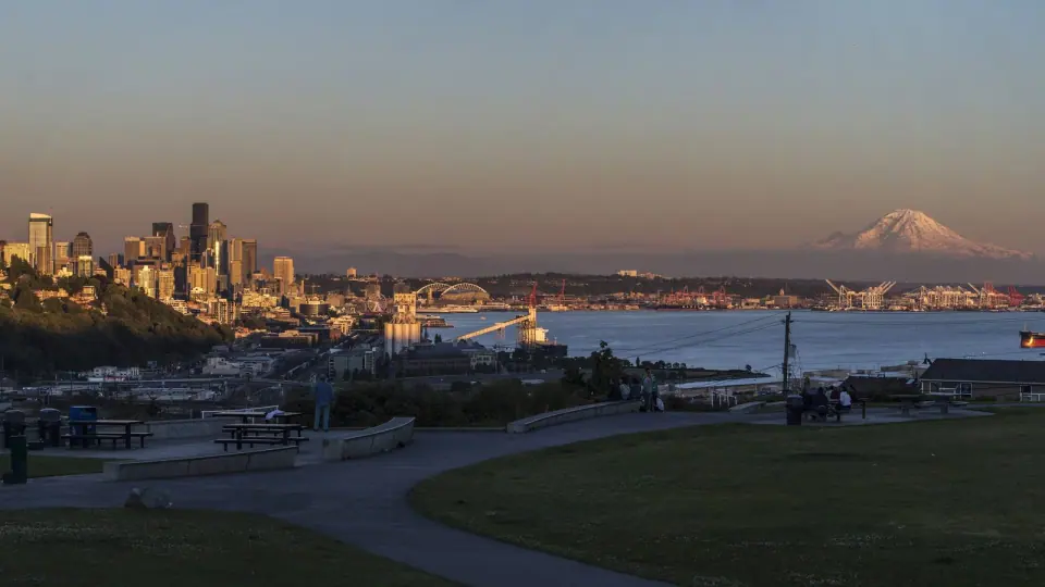
Head to Magnolia's south end for Magnolia Park, where the view stretches over Puget Sound, Mount Rainier and the downtown skyline. Spread out in the picnic area, or cross the street to the tennis courts. Smith Cove and its marina sit along the same southern shore.
Discovery Park and West Point
In Magnolia's northwest corner, Discovery Park is Seattle's largest park at 534 acres. It was once the U.S. Army's Fort Lawton, and some officers' homes and other historic buildings still stand, many of them now private residences. Follow seven miles of trails for views of Puget Sound and the Olympic Mountains.
Take the trails down to about two miles of beach that wrap around West Point, the westernmost point in Seattle. There you will find the West Point Lighthouse, built in 1881, the oldest lighthouse in the area and still guiding ships into Elliott Bay. For more historic sites like this, see our guide to Seattle landmarks.
The Magnolia Branch Library
Design lovers should seek out Magnolia's branch of the Seattle Public Library. Architects Paul Hayden Kirk and Richard Haag designed it in 1964, earning top design honors from the American Library Association, and inside you can sit at solid walnut tables and chairs custom made by George Nakashima.
In the children's area, look for the statue Girl Holding Doves by Ebba Rapp McLauchlan. Outside, find Activity of Thought, a bronze wall sculpture by Glenn Alps created specifically for the building.
Plan Your Day in Southeast Magnolia, Seattle
A simple summer plan suits this corner well. Start at Ella Bailey Park, walk to the Village for the Saturday market, then drive out to Magnolia Park or Discovery Park for views and trails.
- Timing: Come on a Saturday during market season, and confirm current dates first.
- Getting there: Pick your bridge based on your first stop, since only three roads connect Magnolia to the city.
- Families: Magnolia Elementary, Lawton Elementary and Catharine Blaine K-8 are the district's public schools, and nearby playgrounds make the area kid friendly.
To see how this corner compares with others, explore our guide to Seattle neighborhoods, or gather more ideas from things to do in Seattle.