From Forest to Streetcar Suburb
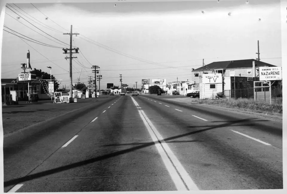
Picture this land before the late 1800s, when Douglas-fir and western redcedar forest covered most of it and Native Americans lived here. Logging changed the landscape quickly, and by the time the area's sawmill stopped running in 1913, most of the trees were gone.
The real turning point came in 1906, when the Seattle-to-Everett Interurban streetcar line reached the lake. That connection turned a wooded lakeshore into a place where people could settle down and still travel into the city.
The Playland Years
For three decades, Bitter Lake drew people from across the whole region. Playland opened on May 24, 1930, built by the Washington Amusement Company, at a time when the area was not yet officially part of Seattle.
The Dipper and Other Rides
A year after opening, the park was bought by Carl E. Phare, a designer and builder of roller coasters. His signature ride, The Dipper, ran along 3,400 feet of track and climbed to a top height of 85 feet.
Beyond the coaster, The Canals of Venice carried riders 1,200 feet through the dark, and it may have been the city's most famous makeout spot for two generations. Dancers, meanwhile, could take to a hardwood pavilion covering 9,600 square feet.
Depression-Era Spectacles
When the Great Depression arrived, Playland staged dance marathons and flagpole sitting contests. The 12-acre park offered parking for 12,000 cars, a figure that gives a real sense of its crowds.
Why Playland Closed
The fun ended after the 1961 season. Television was keeping people at home, and the lakefront land had grown more valuable. On top of that, the 1962 Century 21 Exposition, Seattle's world's fair, was about to overshadow a modest park on the edge of town.
Tracing Playland Today
None of the rides survive, but you can still stand on the old grounds and let your imagination fill in the rest. R.H. Thomson Elementary School now occupies part of the former site, and the Bitter Lake Community Center sits close to where The Dipper once rose above the lake.
Parks and Green Space
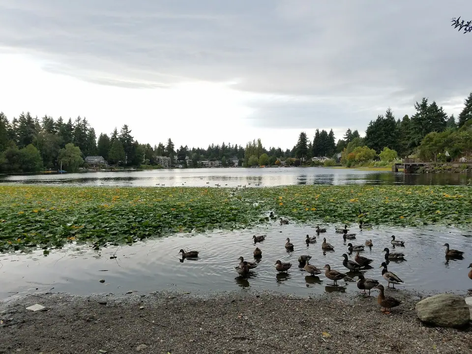
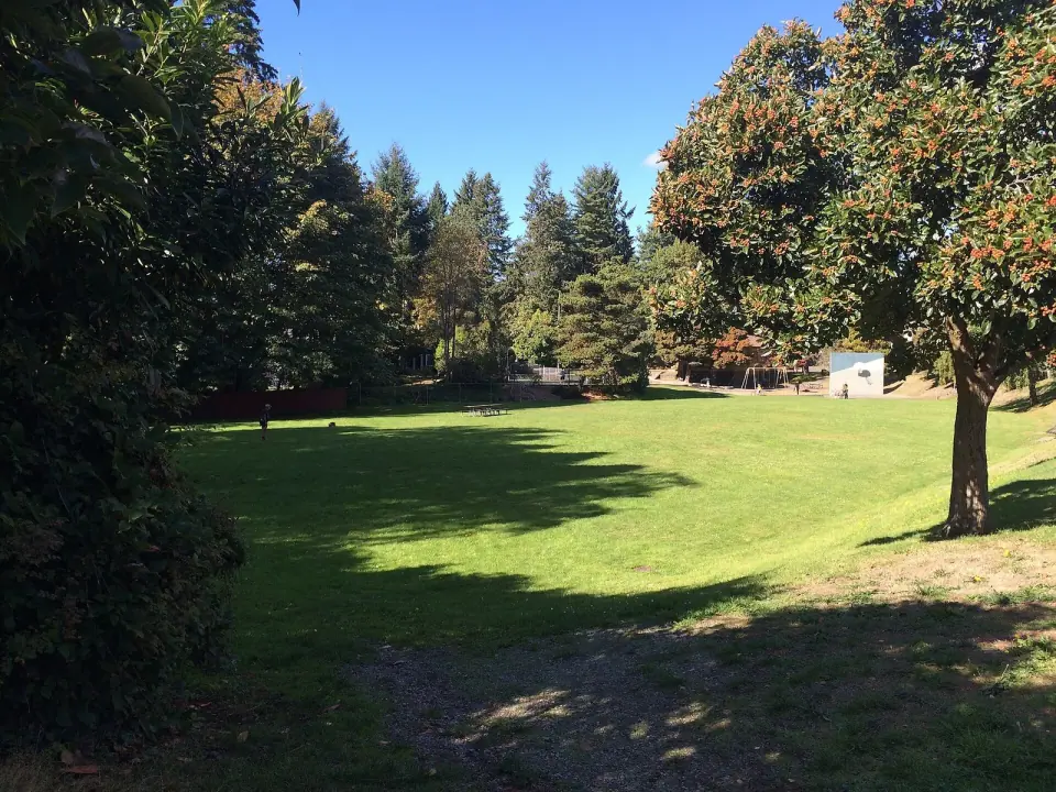
Spend some time outdoors here and you will see why green space is one of the neighborhood's real strengths. City of Seattle records list several public spots worth knowing.
- Bitter Lake Park: A $2.5 million renovation began in 2023, bringing new restrooms and playground equipment to meet current safety and accessibility codes.
- Bitter Lake Playfield: A city sports and recreation space right in the neighborhood.
- Bitter Lake Reservoir Open Space: Another public green area managed by the city.
Before you head out, check with Seattle Parks and Recreation for current conditions, facility hours and any construction updates.
Growing Food at the P-Patch
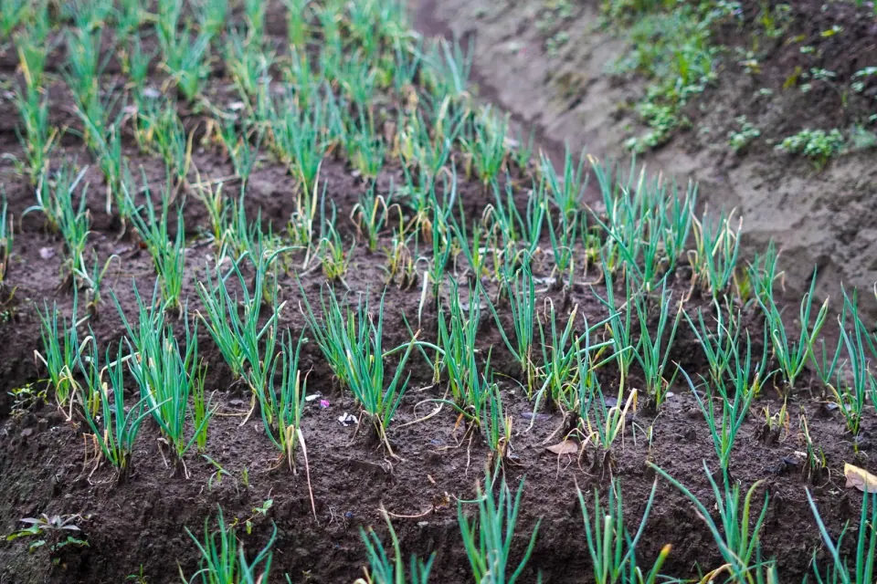
Make your way to N 143rd Street and Linden Avenue N to find the Bitter Lake P-Patch community garden, which opened in 2013 and holds 29 plots as part of the City of Seattle P-Patch program. Neighbors hoping for a plot of their own should contact the program directly, since availability changes.